
Mount Alexander Fire 2026
The January 2026 bush fire that swept across much of Mount Alexander and parts of Harcourt left a stark, altered landscape that I have documented both from the air during the blaze and on the ground afterwards; aerial shots captured the fire’s scale and movement while post‑fire images reveal the charred remains and the subtle signs of resilience returning to familiar places I photographed not long before the flames—trees reduced to blackened trunks, scorched paddocks and singed fences juxtaposed against pre‑fire views of thriving native bush, orchards and homesteads, creating a visual record of loss and the fragile beginnings of recovery.
After the fires around Harcourt, I didn’t photograph the damaged homes and gardens. It wasn’t a lack of interest — I’ve always been drawn to the stories a place tells — but a quiet sense that taking images of other people’s loss would be intrusive. The rawness of smoke-stained walls, the household objects warped by heat, the ash still clinging to familiar places felt too close to private grief to be turned into art without consent.
Instead, I kept my focus on the mountain instead.
Before and after
Unplanned before and after captures, I’ve been capturing images at Mount Alexander for years, the images in this gallery were captured months apart.
May 17 2026
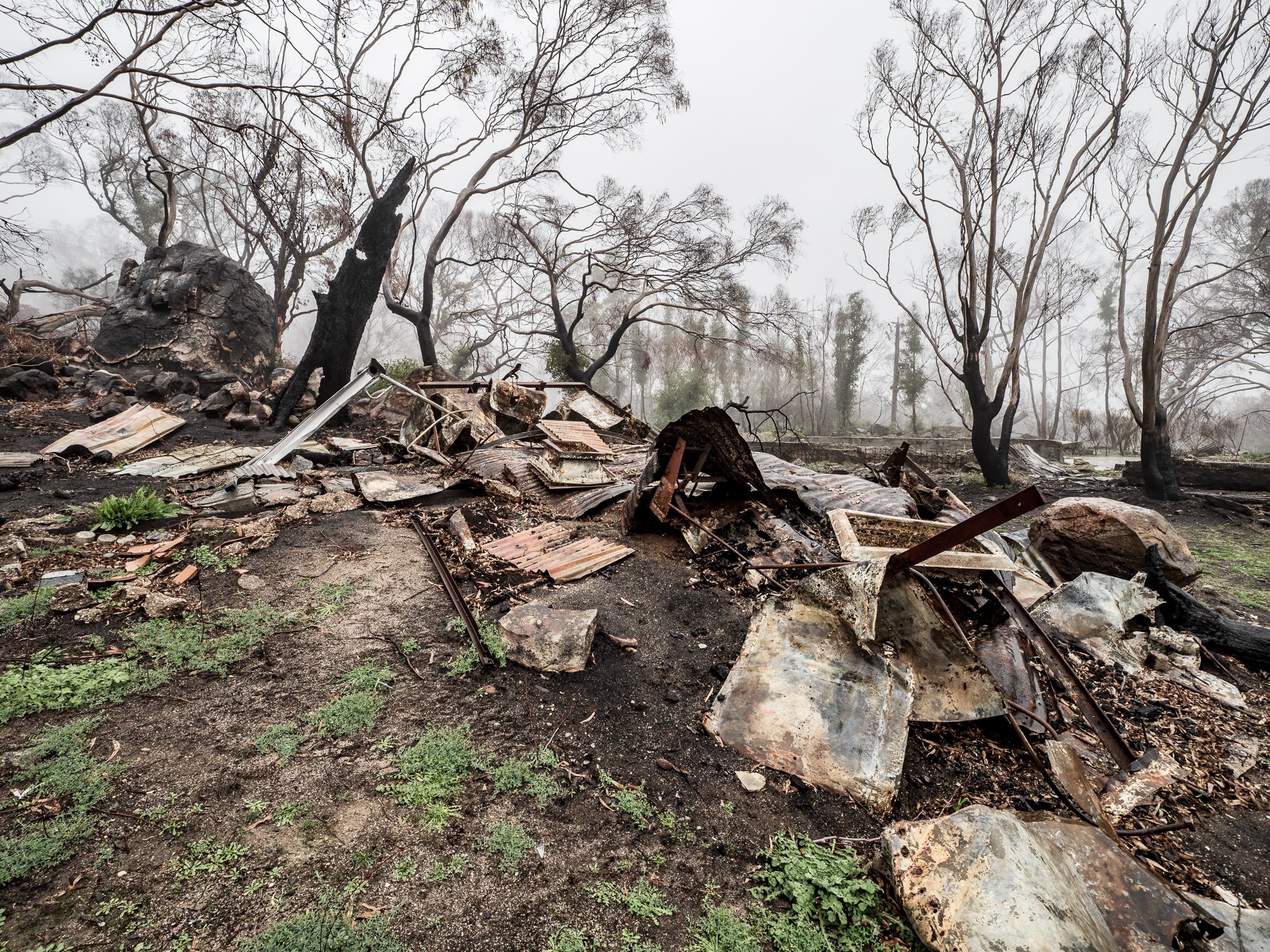
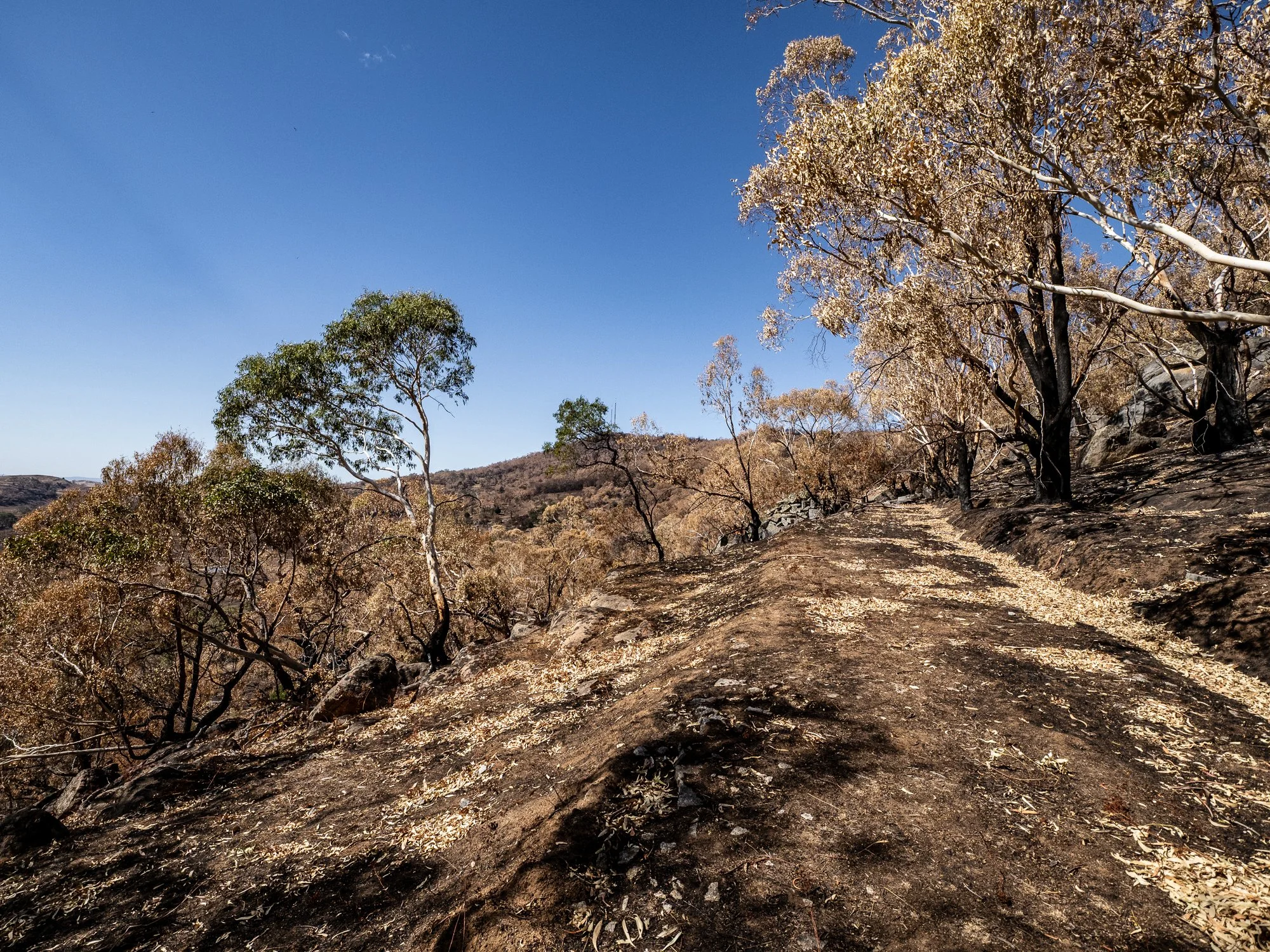
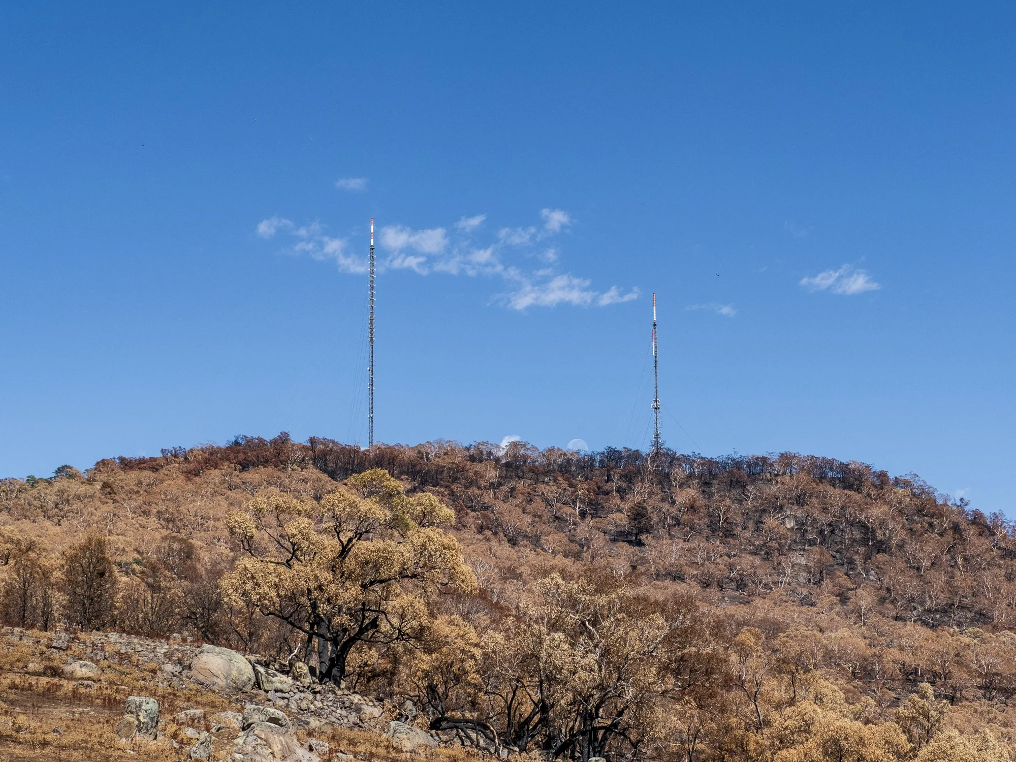
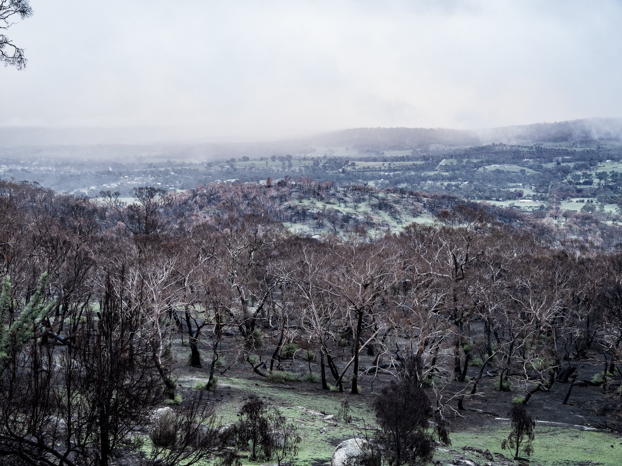
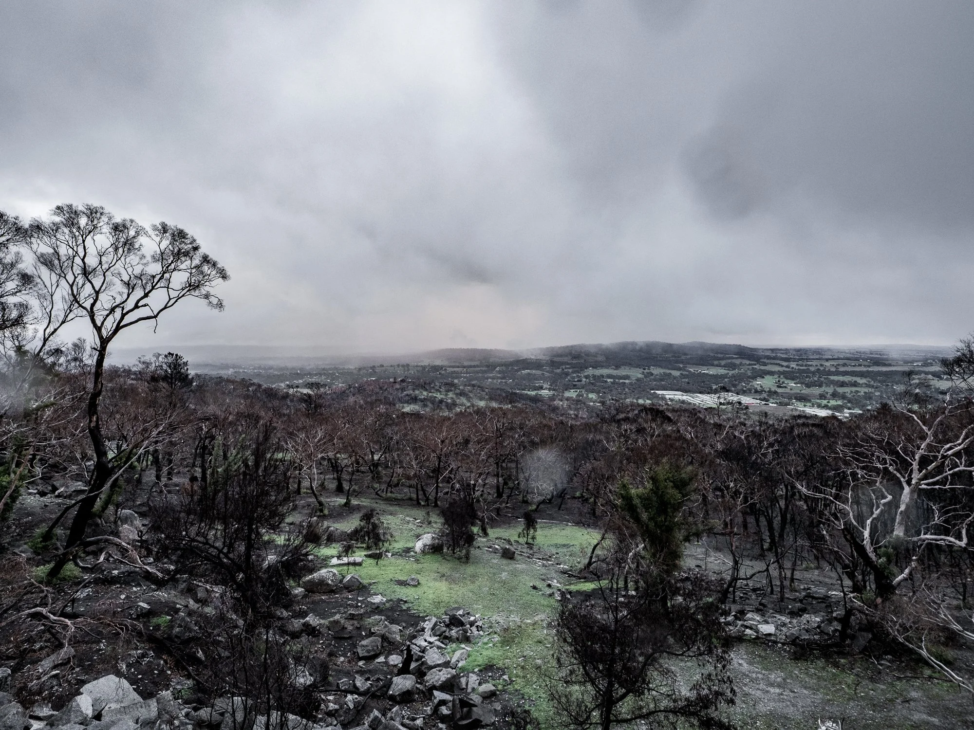
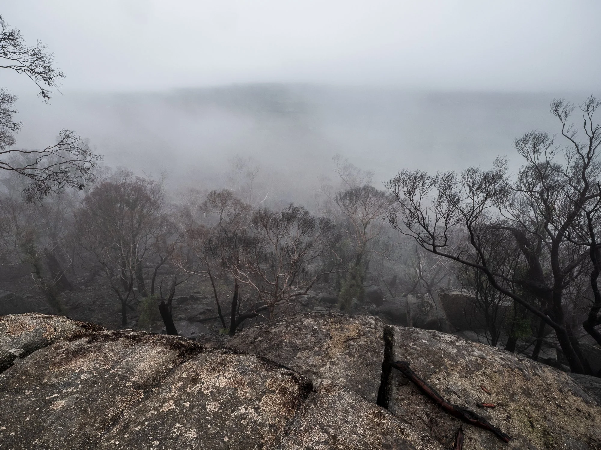
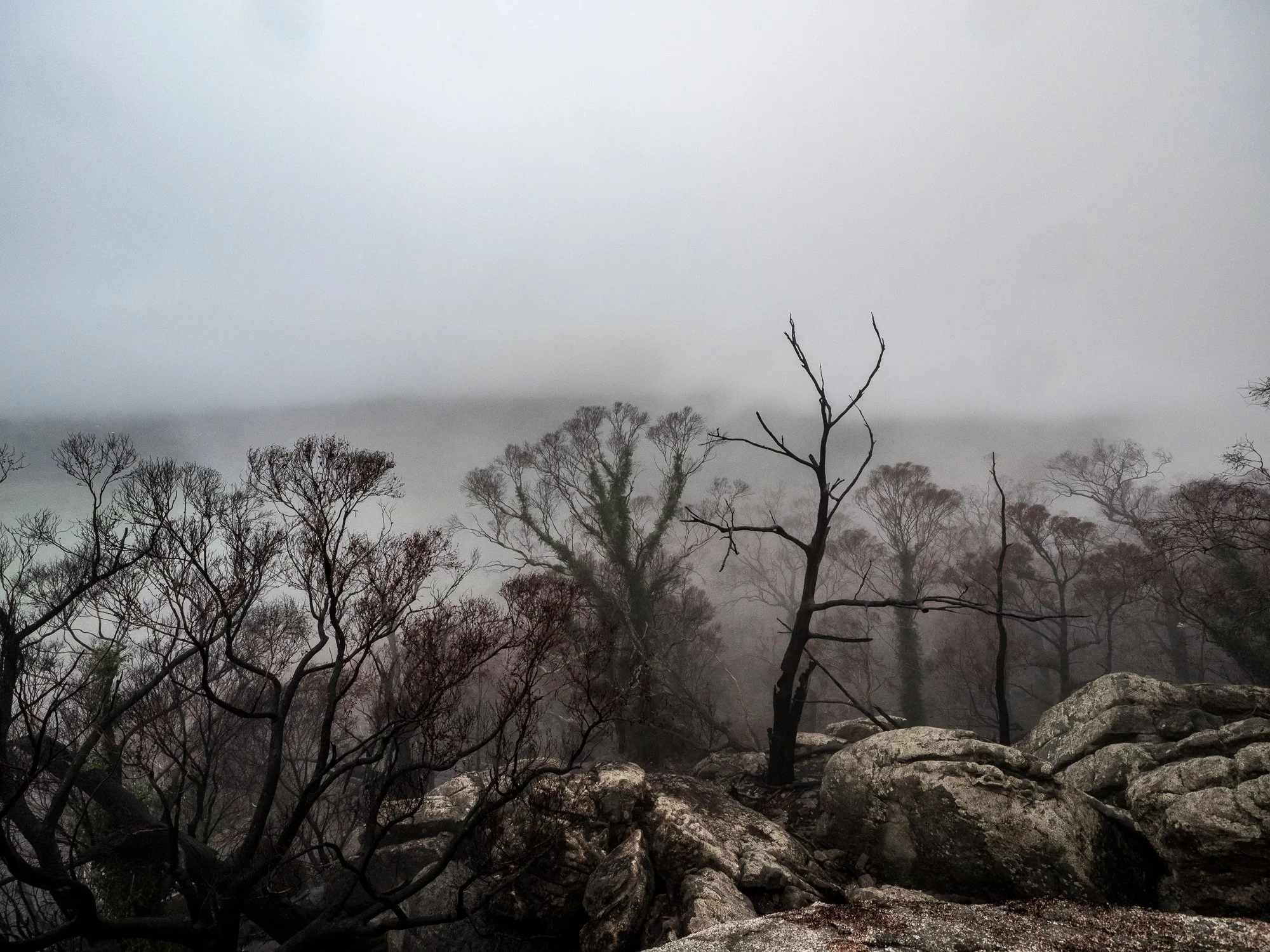
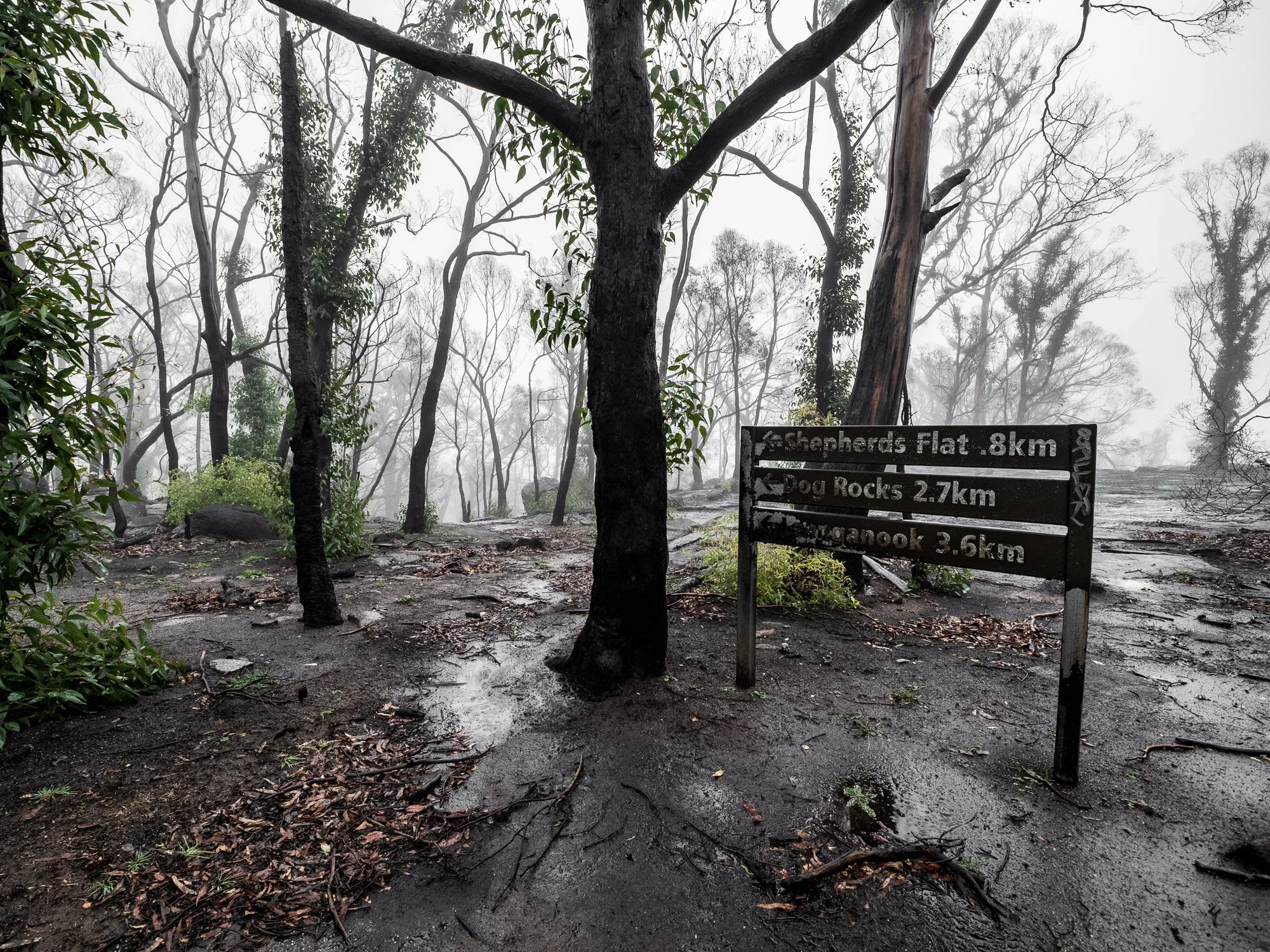
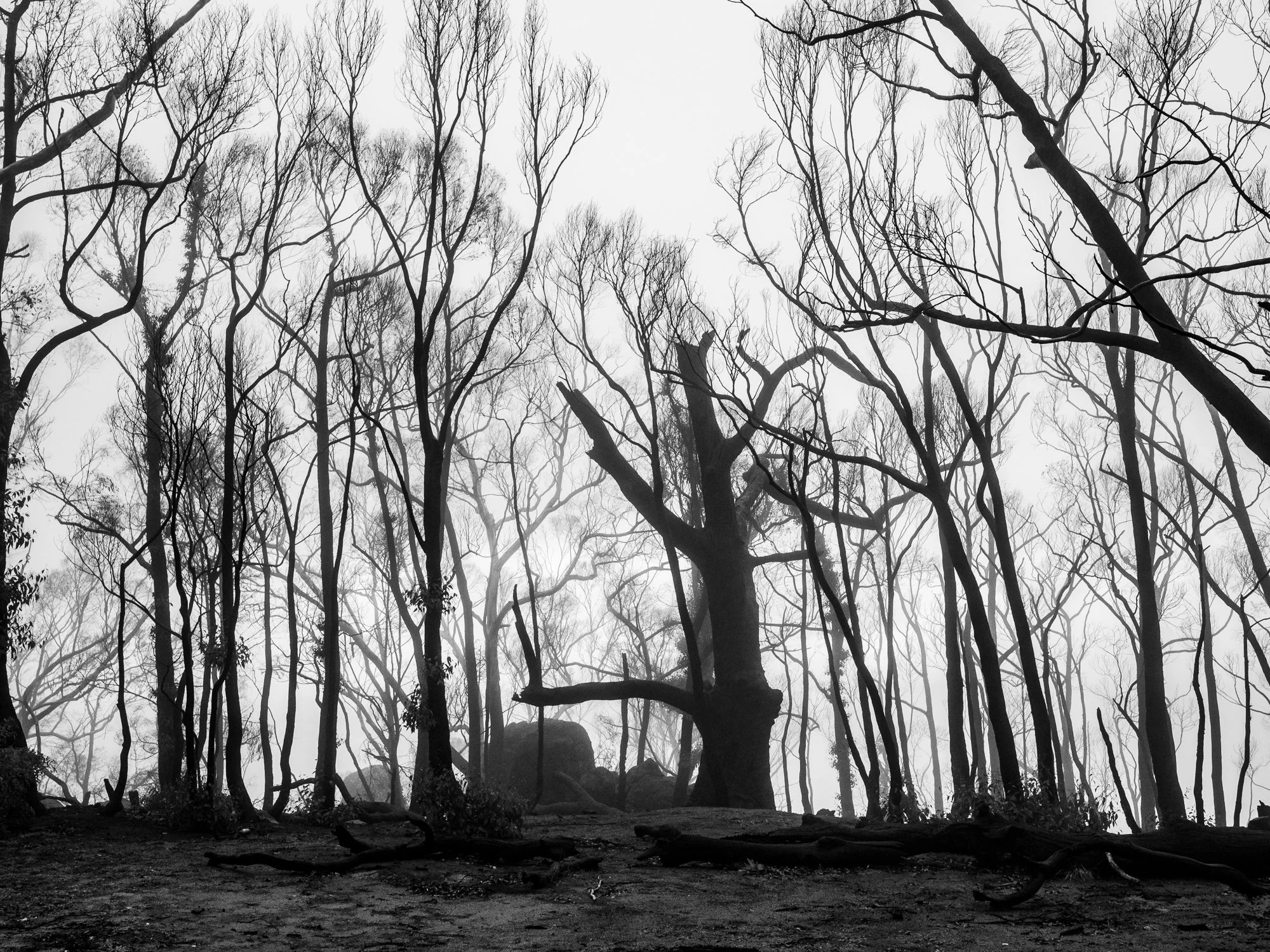
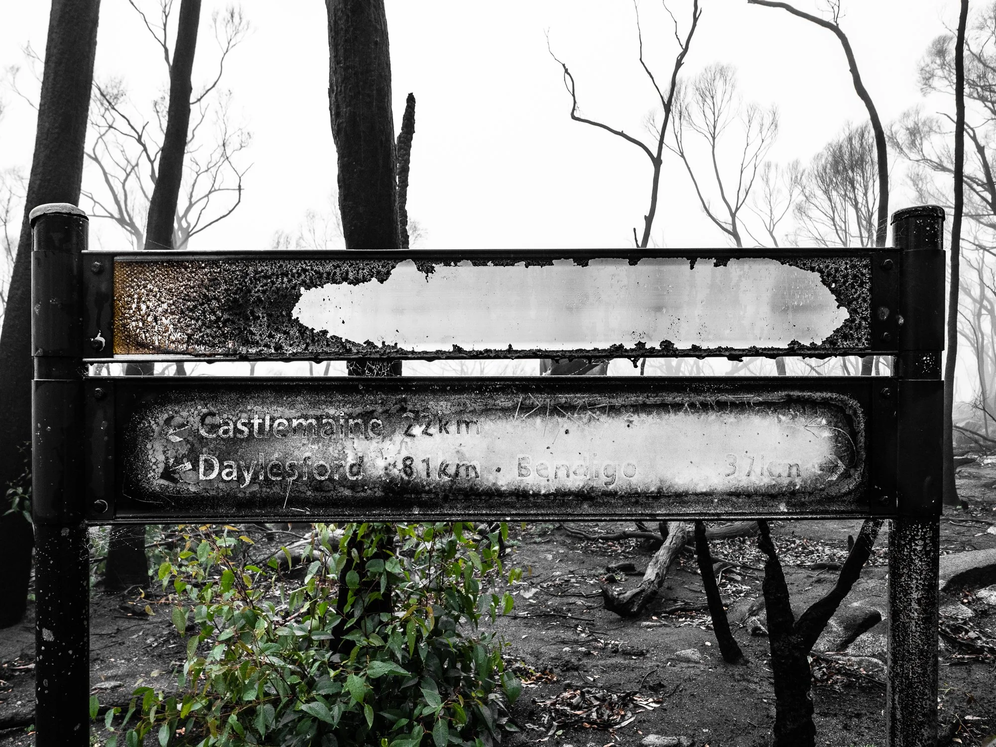
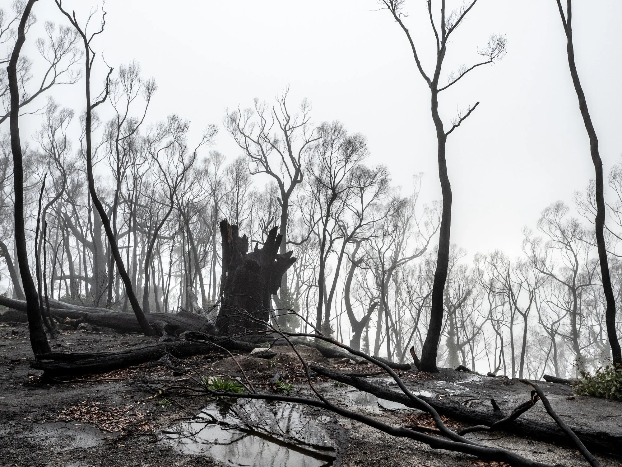
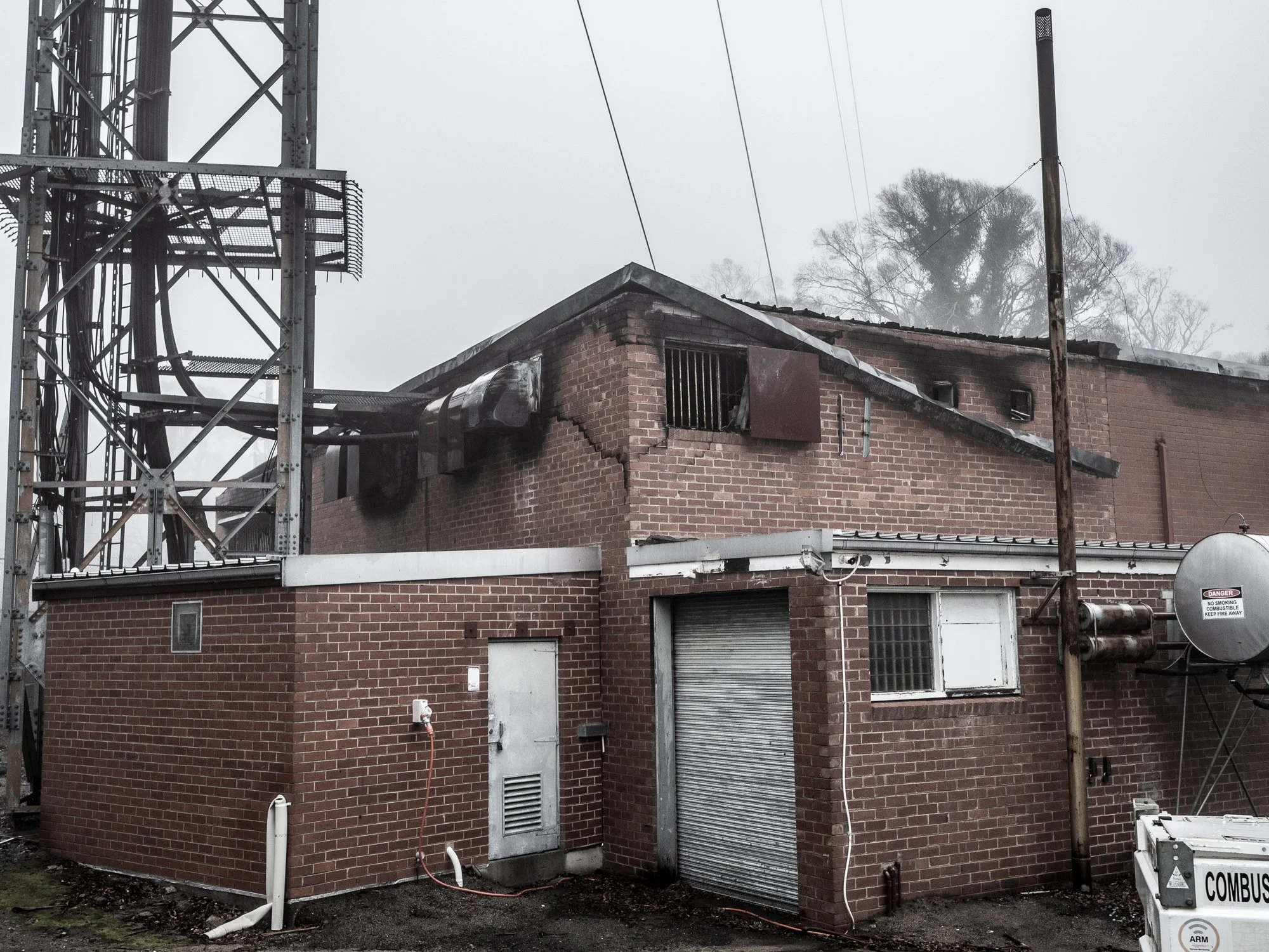
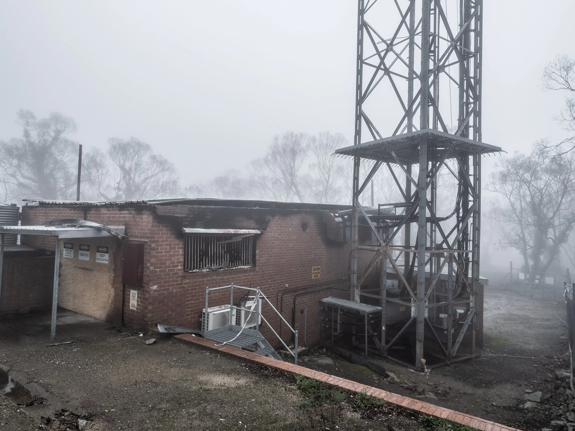
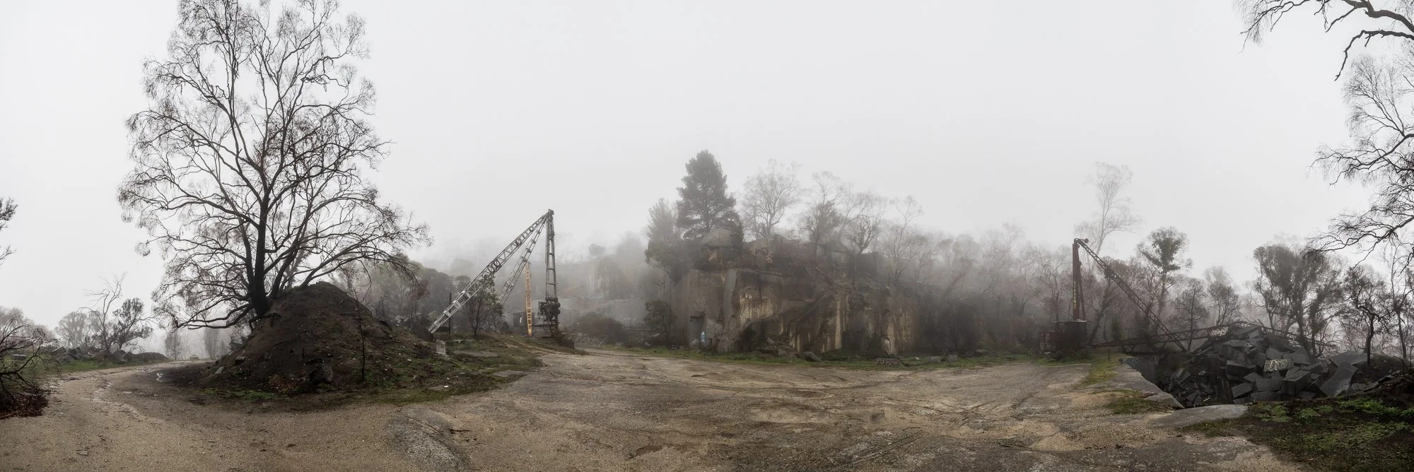
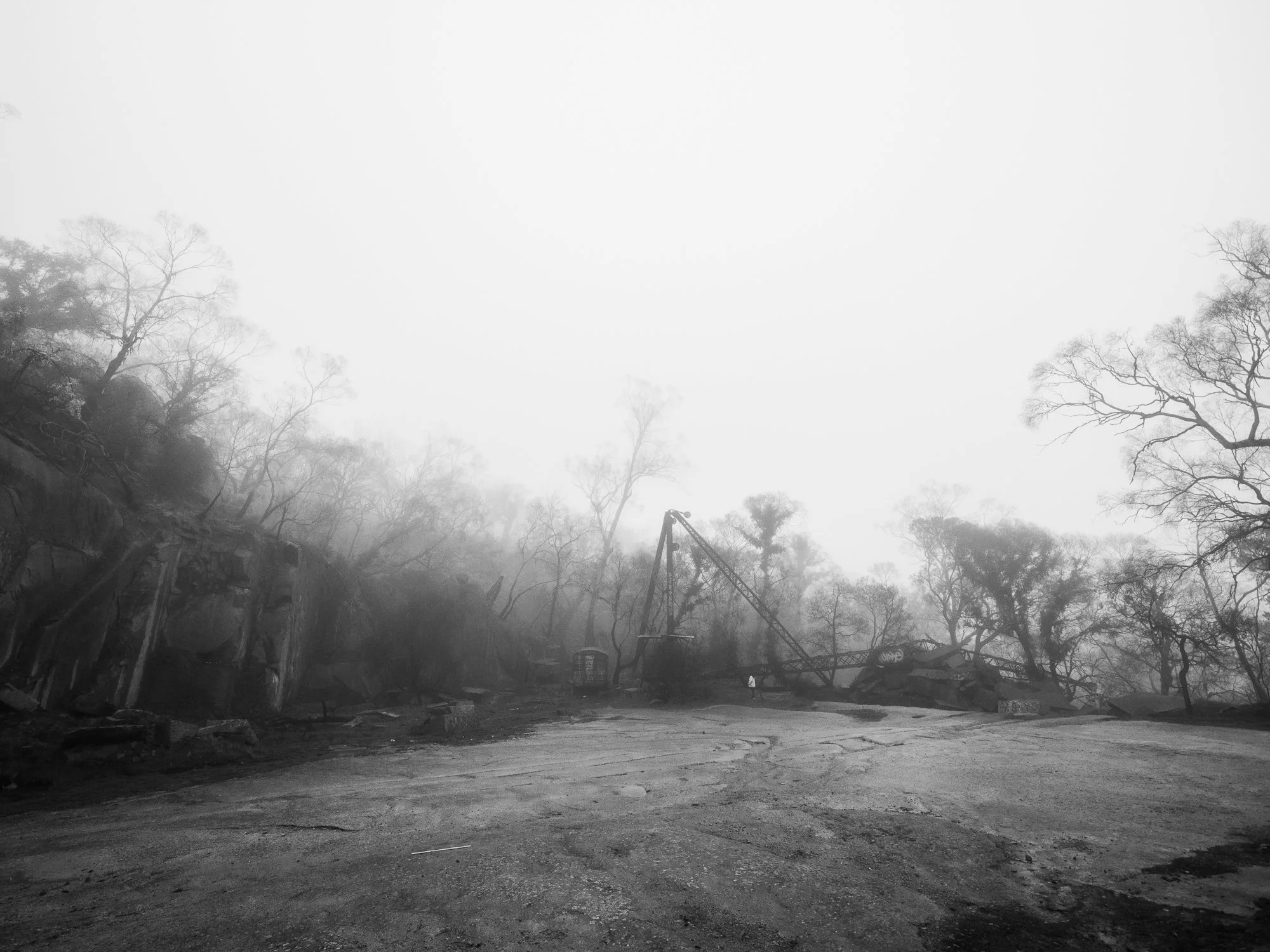
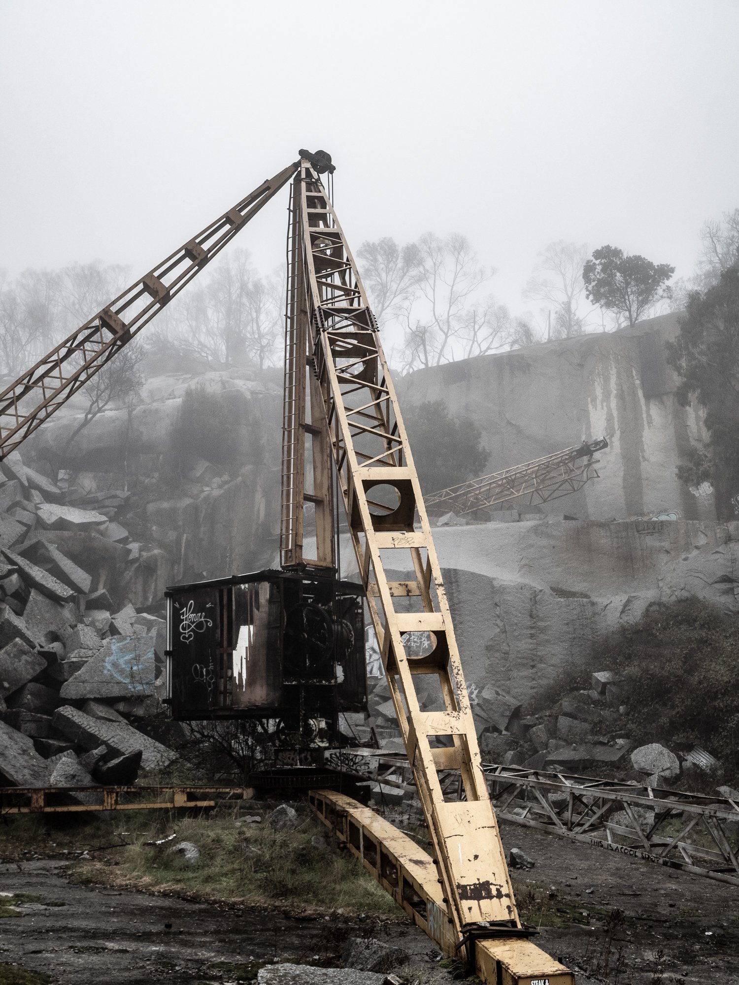
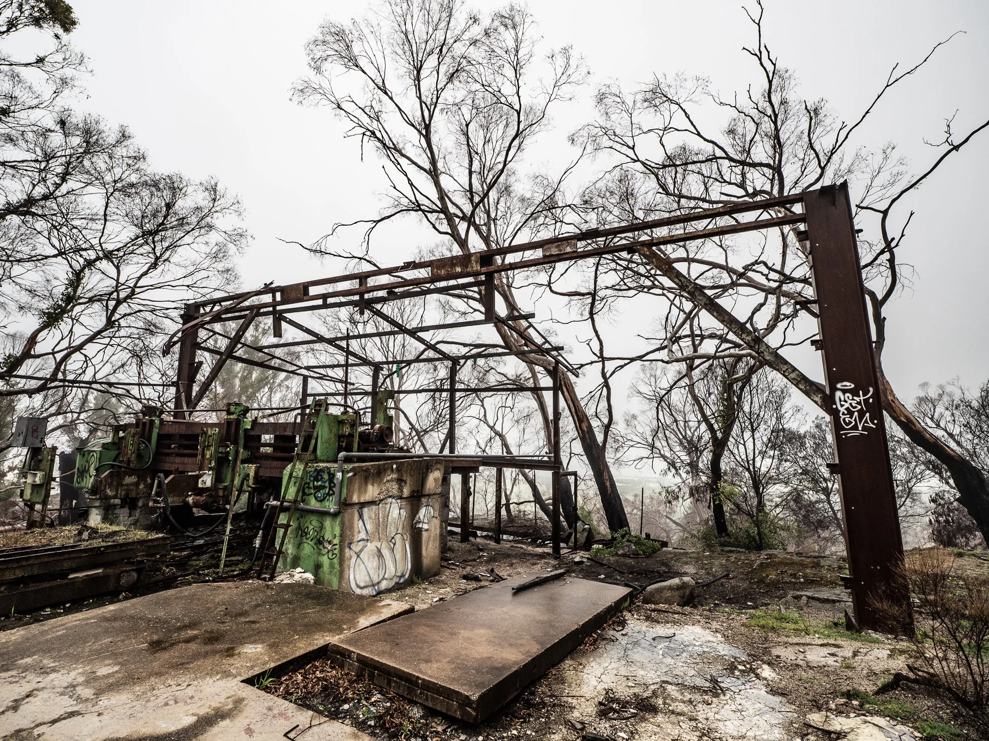
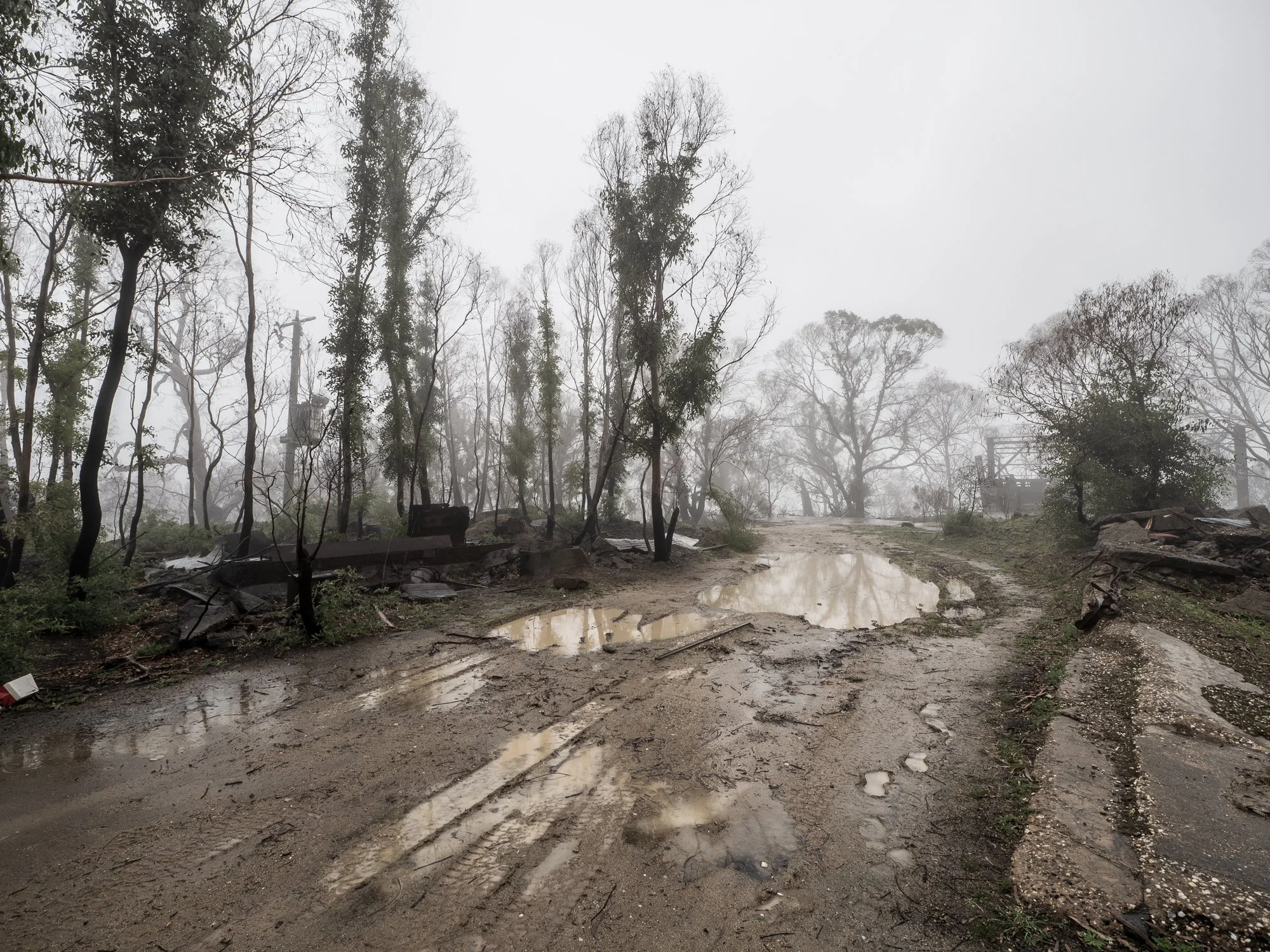
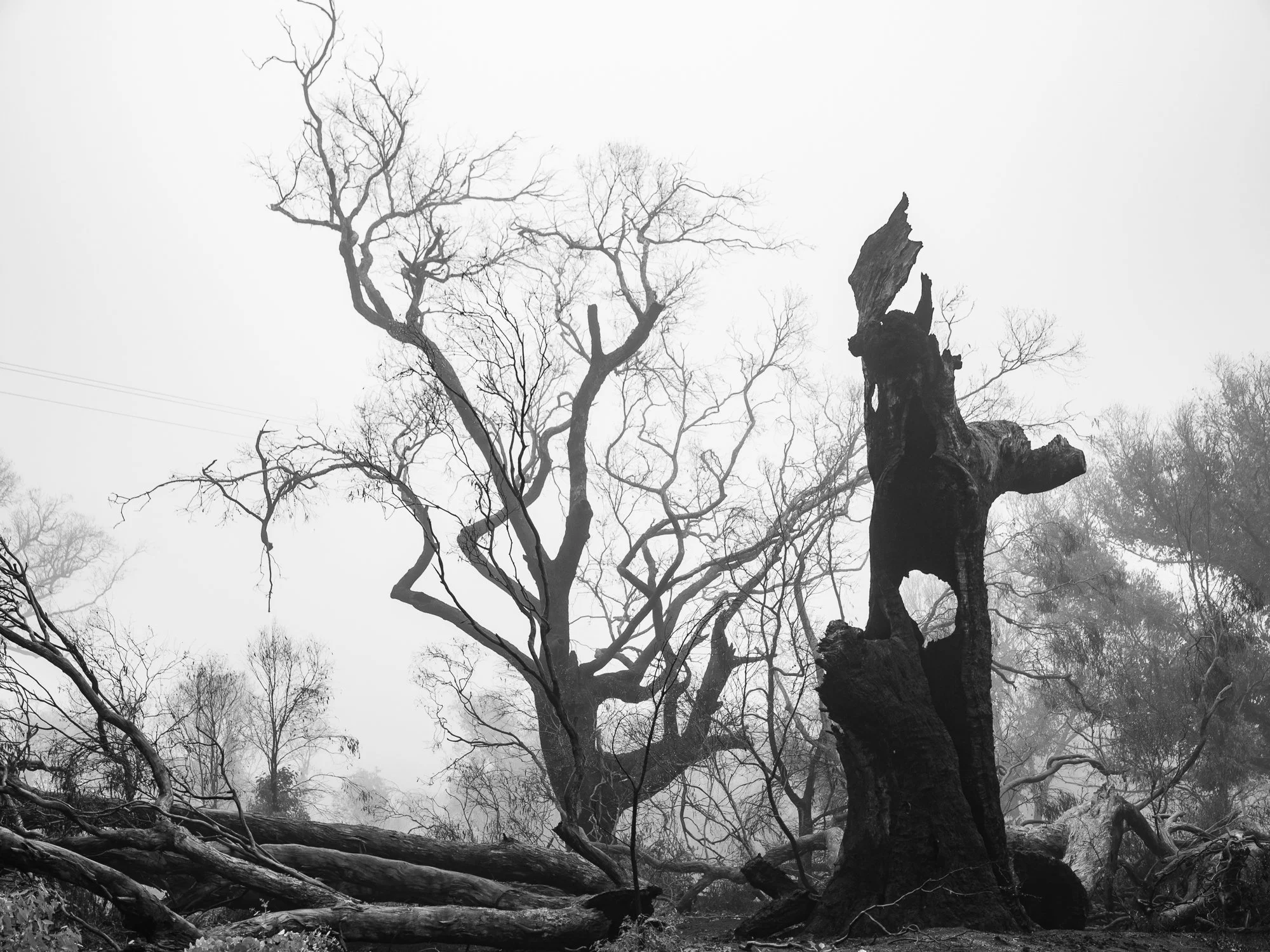
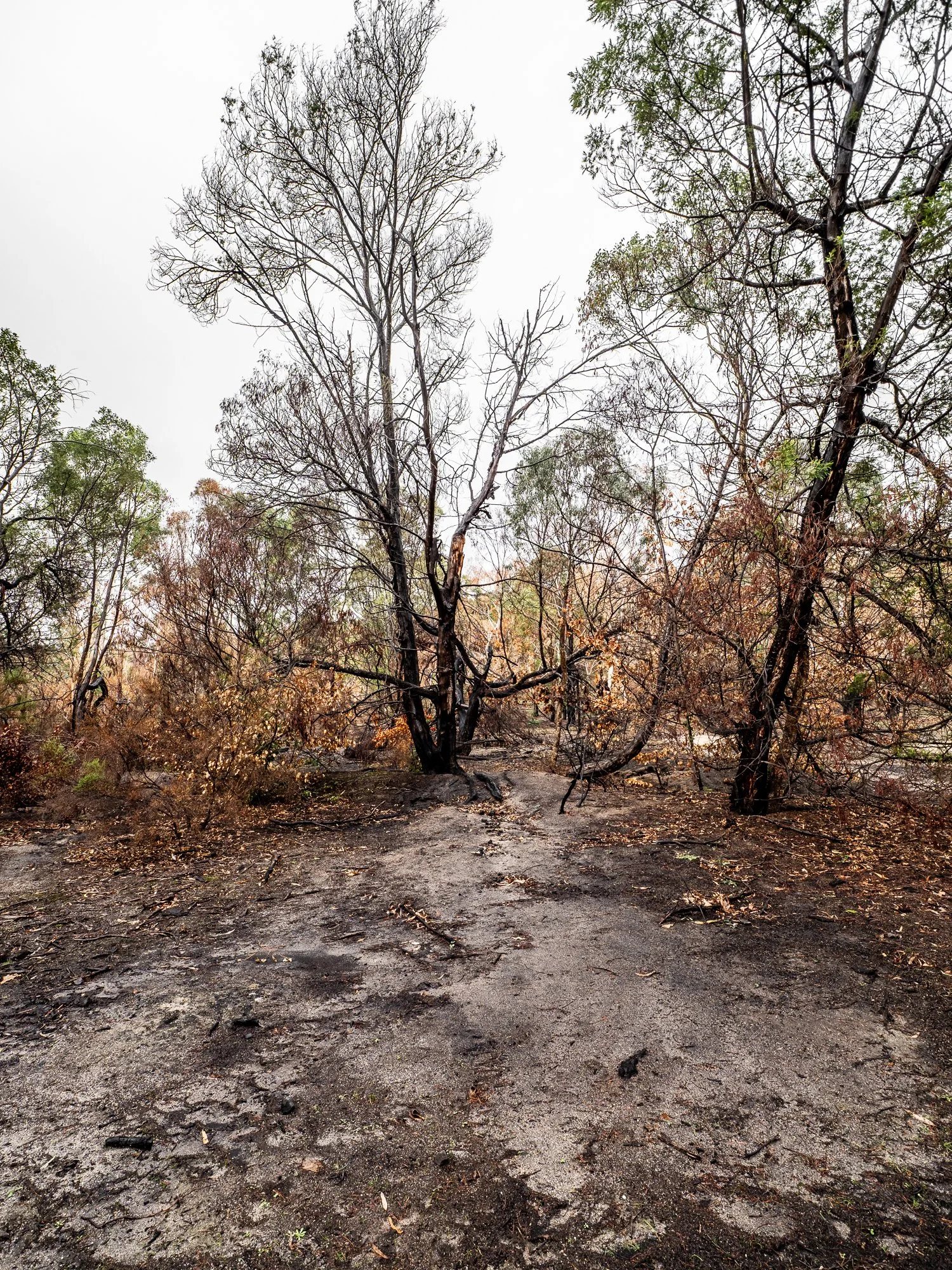
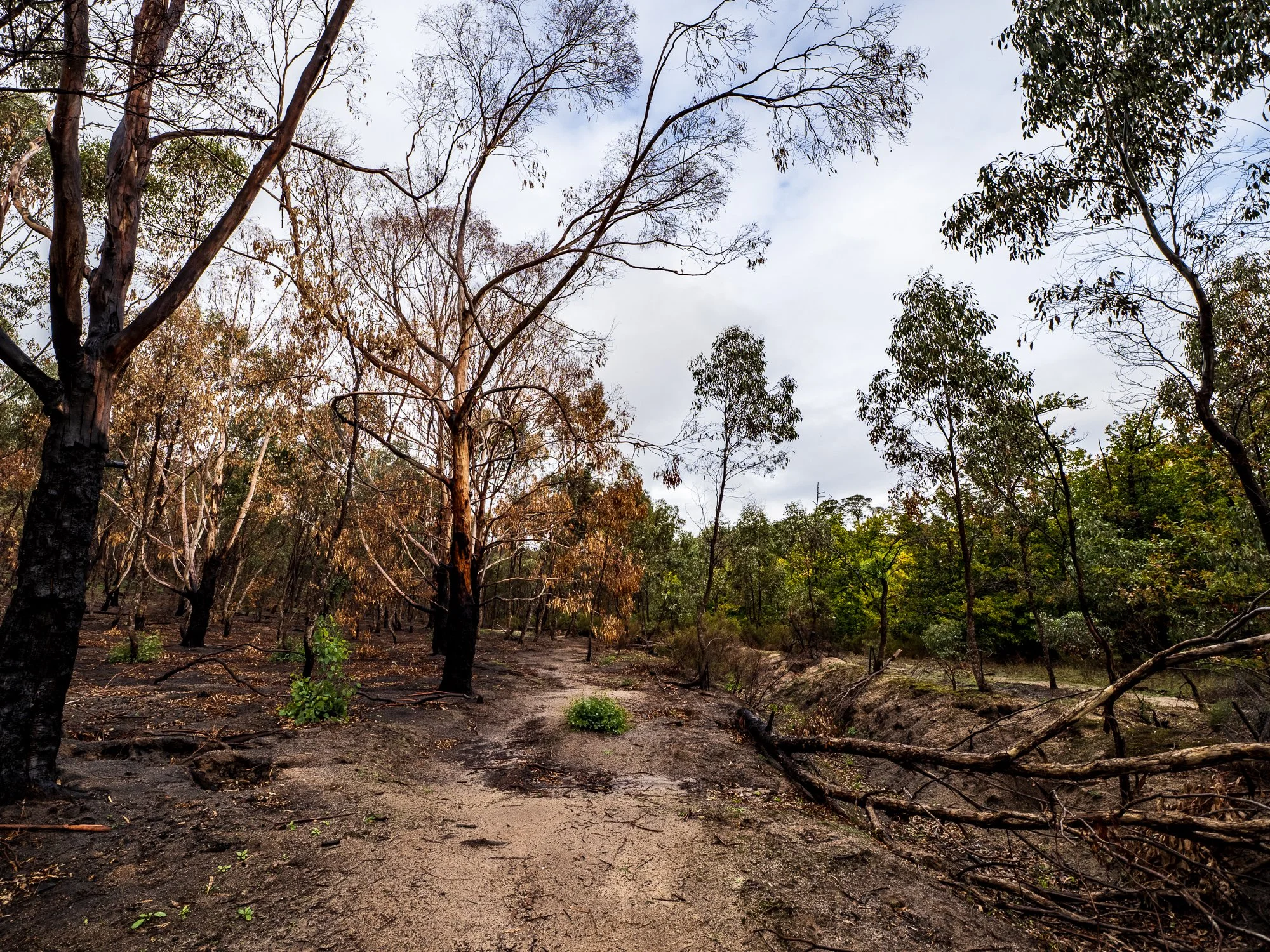
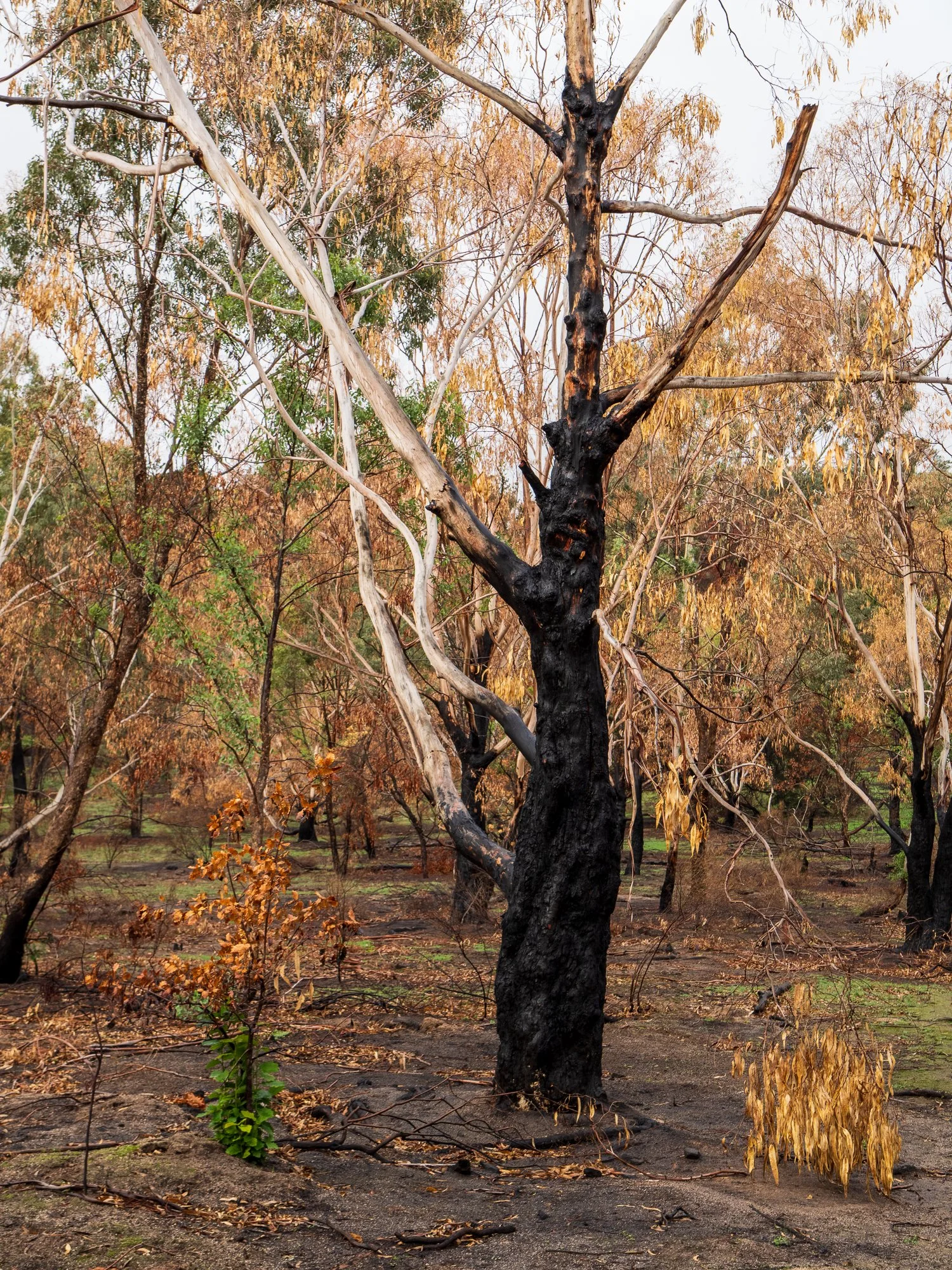
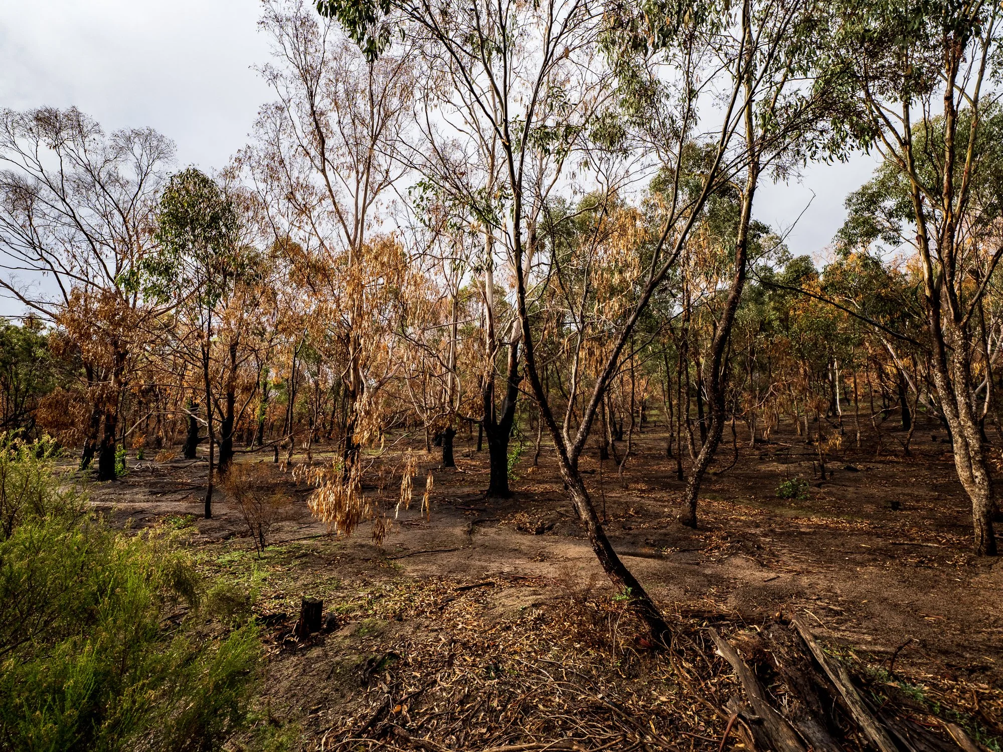
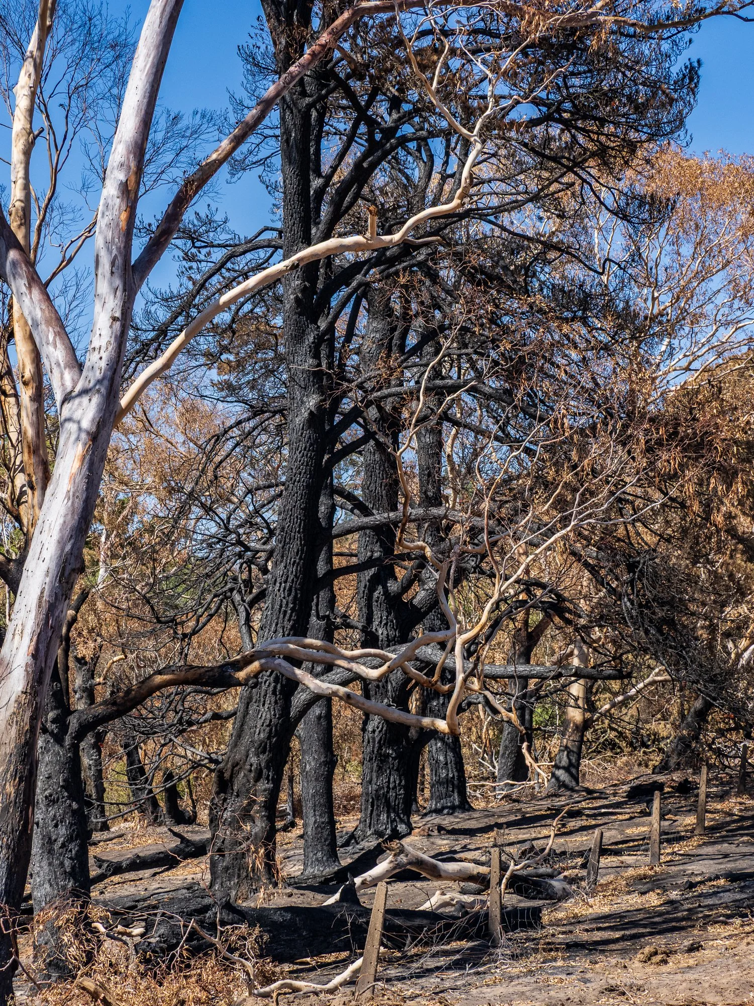
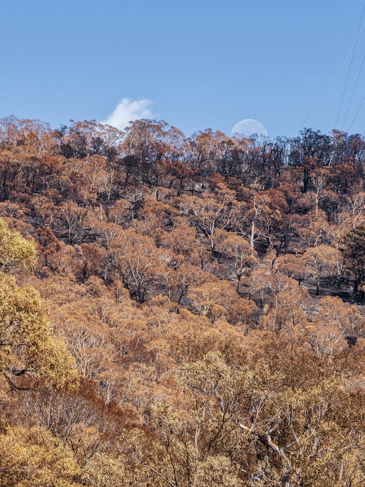
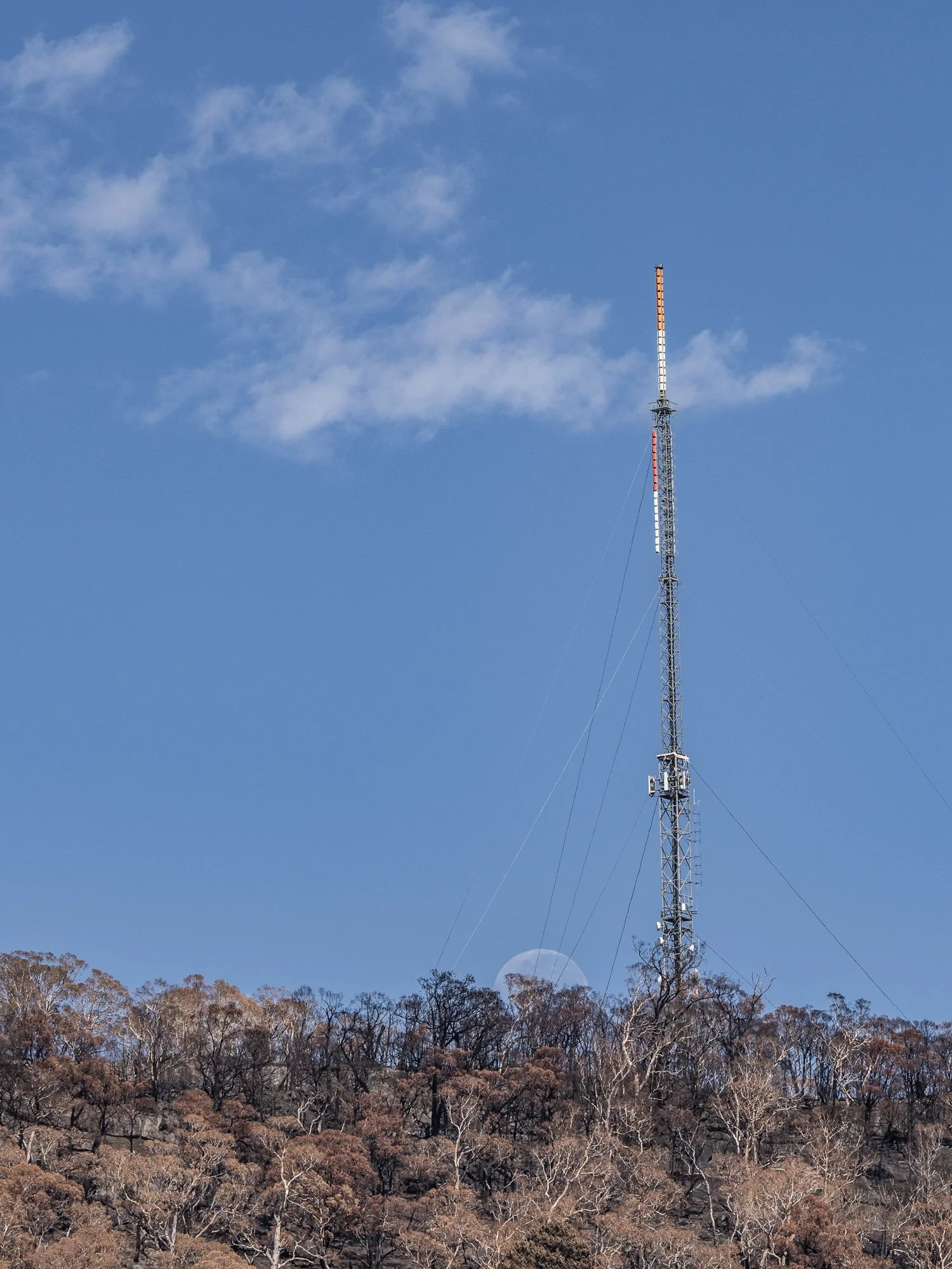
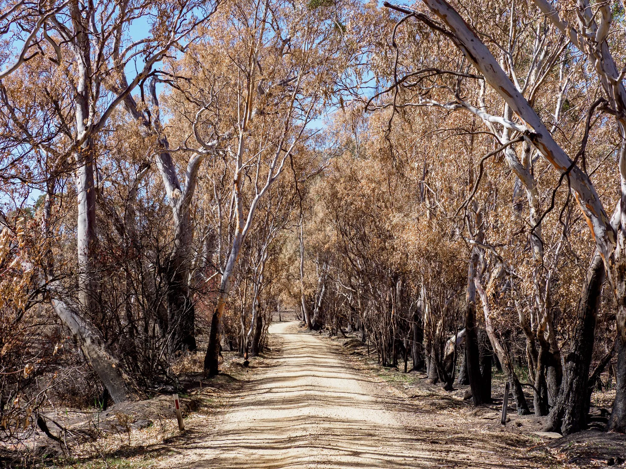
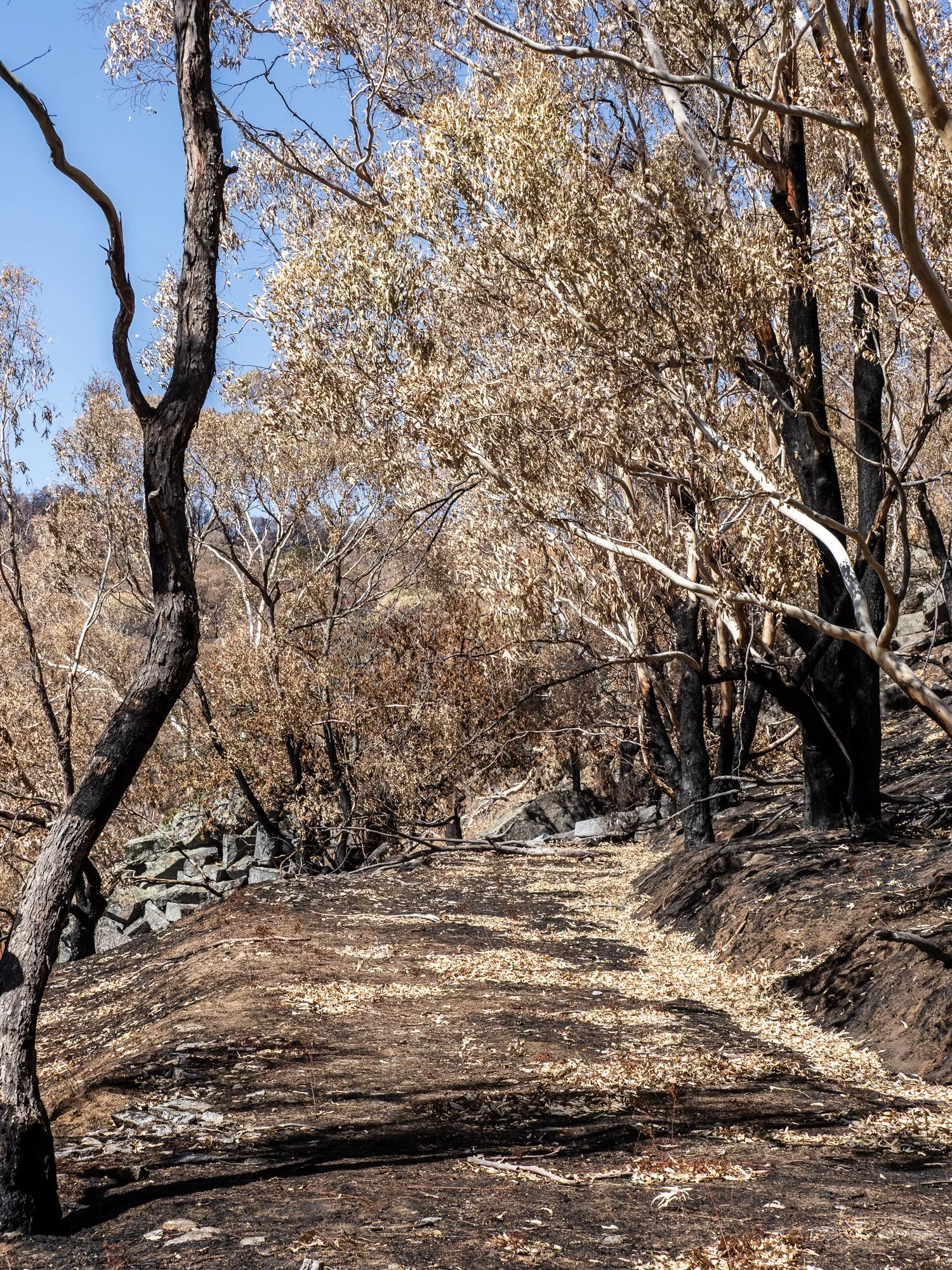
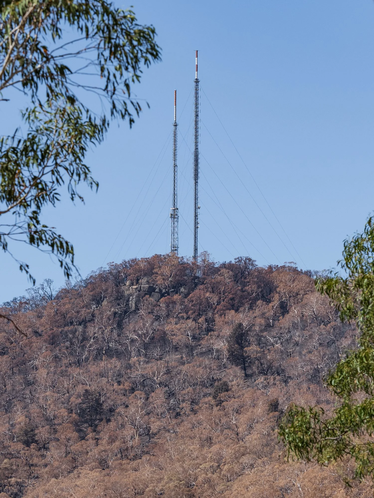
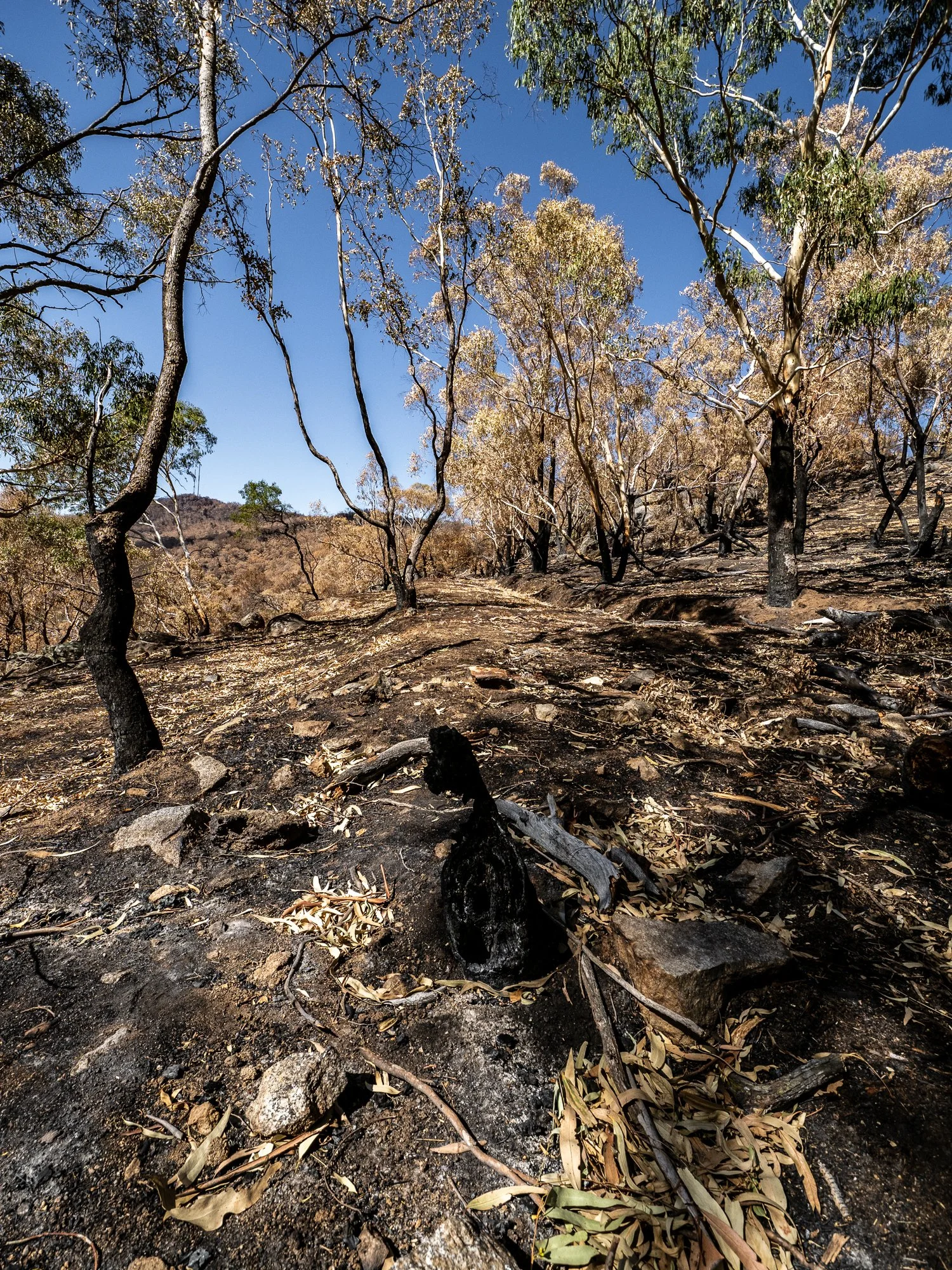
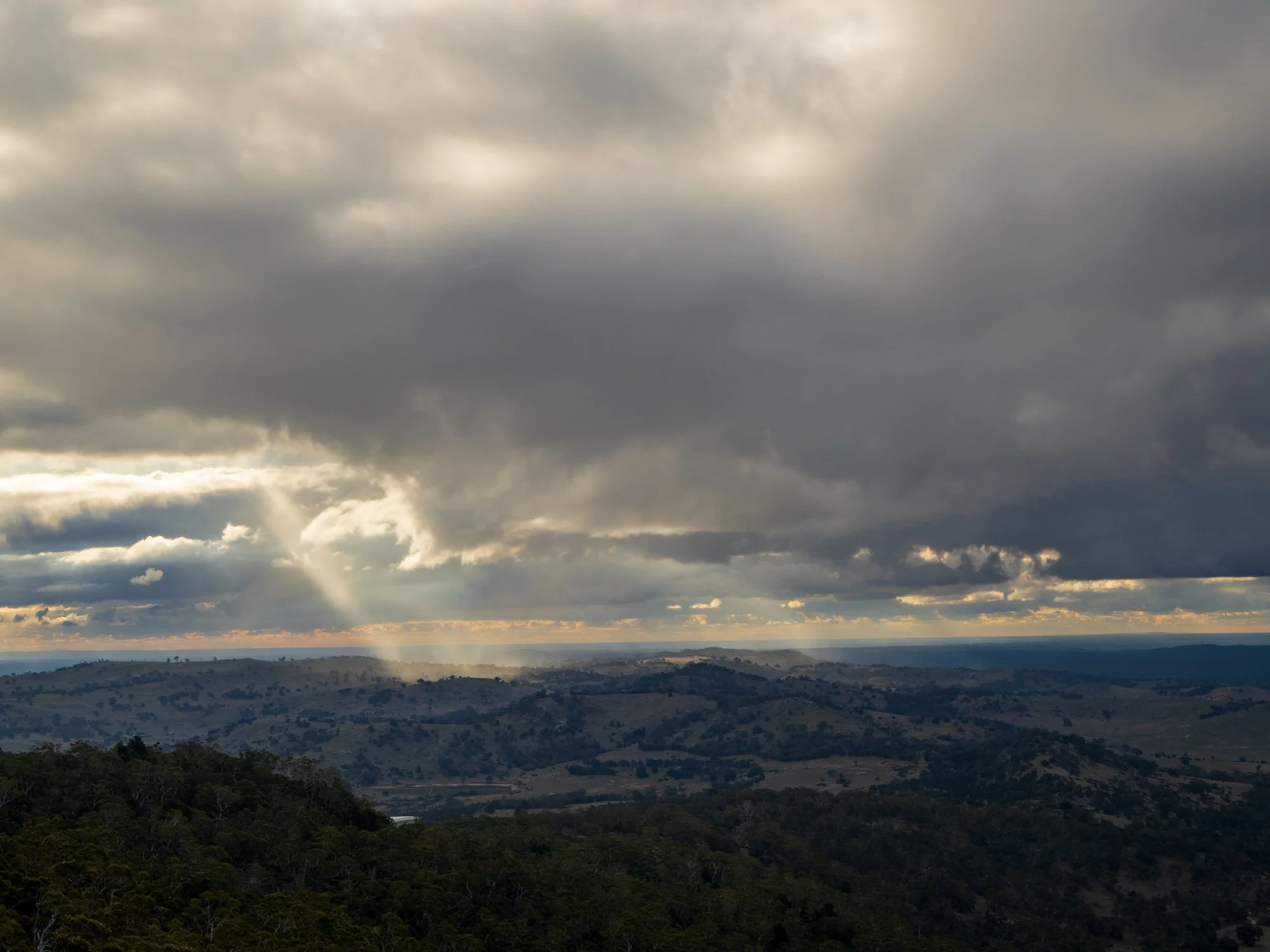
This gallery documents images from my most recent visit after I learned the road over the mountain had reopened to visitors. The route had been closed for months while crews worked to repair and restore services and broadcast infrastructure damaged in the fire. Returning felt like stepping into a landscape that was both familiar and irrevocably changed.
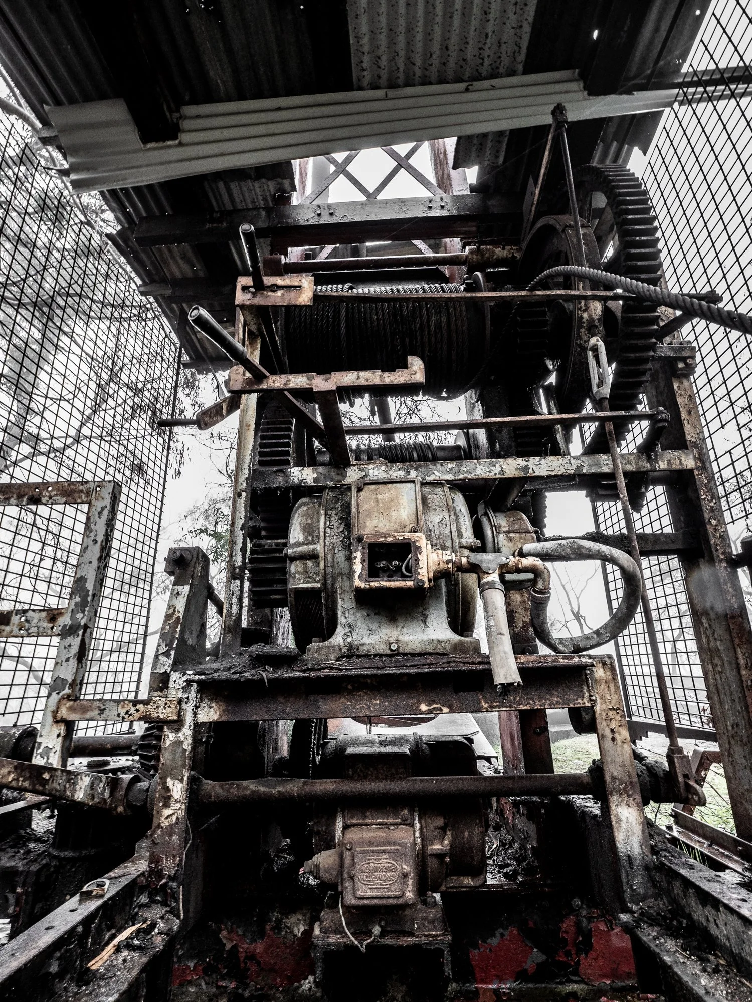
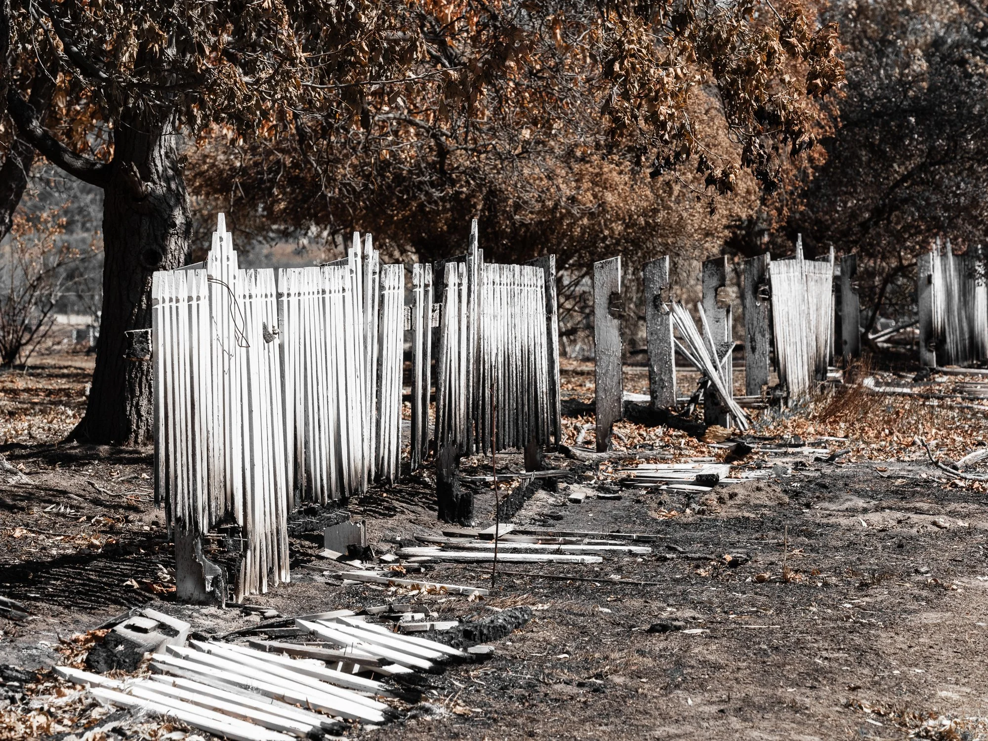
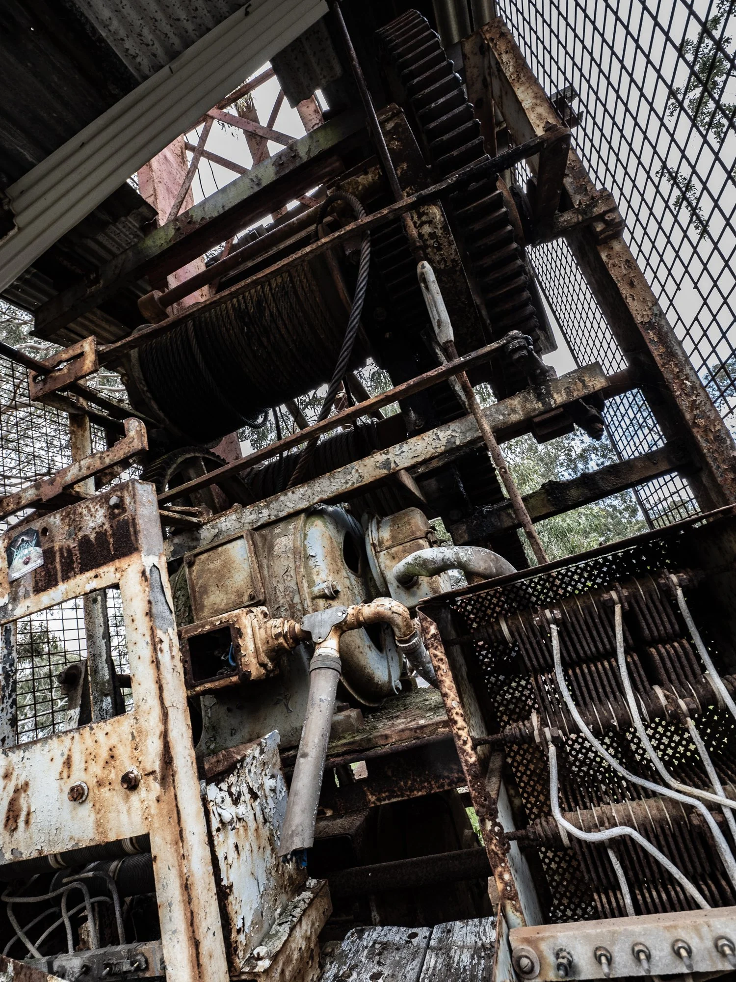
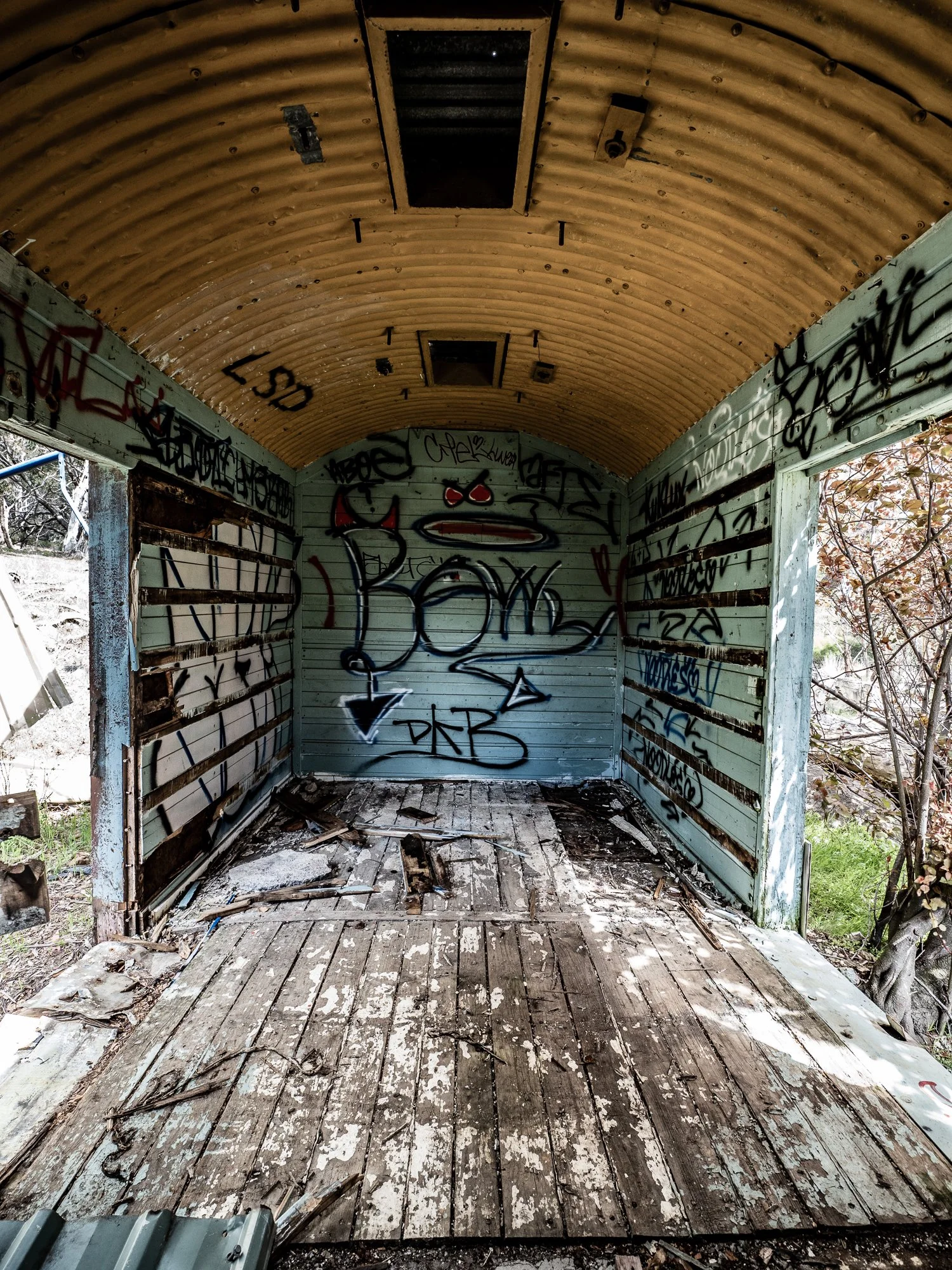
Many of these photographs focus on the visible marks left by the blaze — blackened trunks, skeletal branches, and charred ground — set against resilient pockets of green where vegetation has begun to regenerate. Other images capture the man-made structures that bore the brunt of the damage: toppled poles, corrugated panels warped by heat, all reminders of the infrastructure that keeps remote places connected.
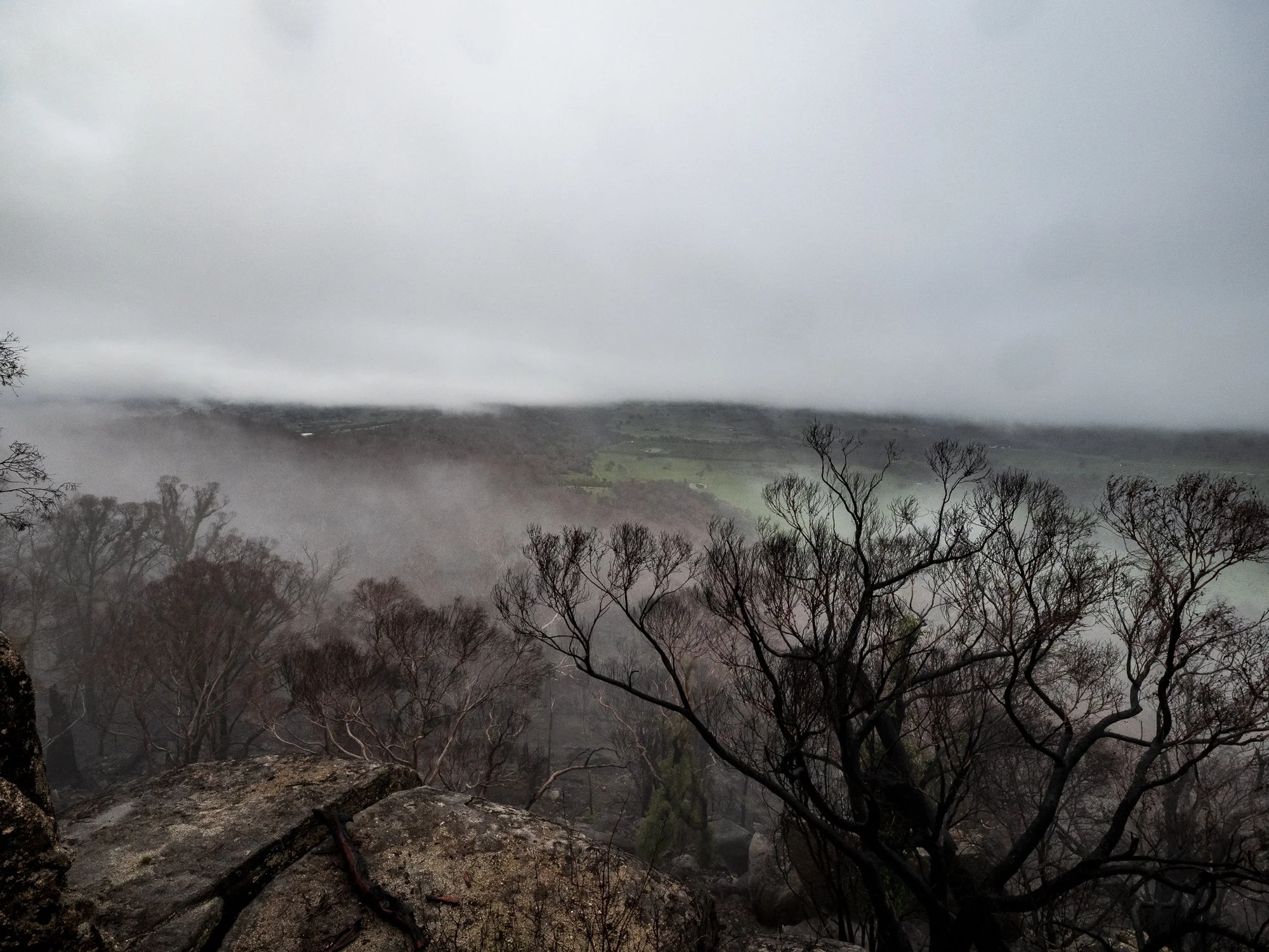
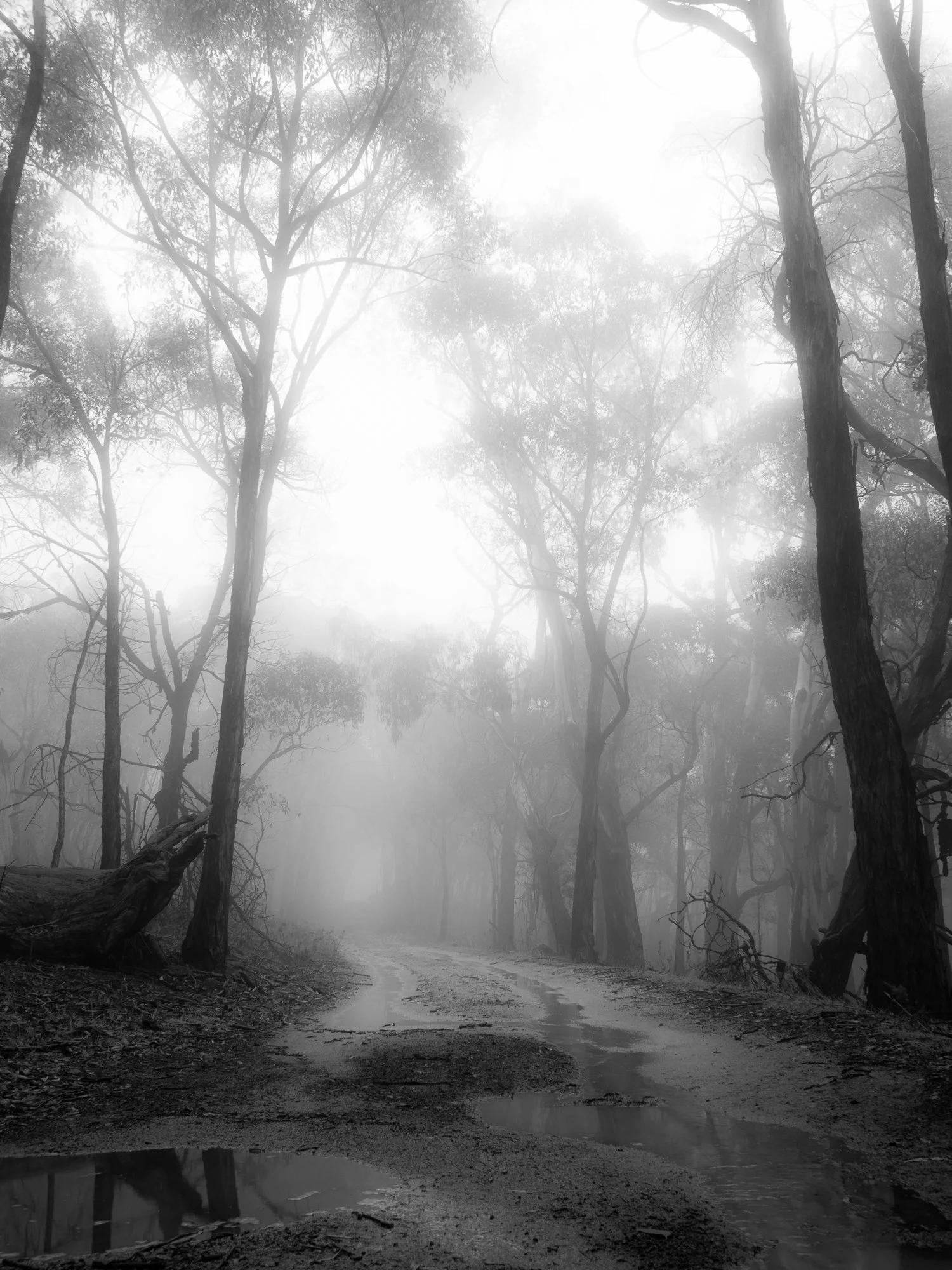
Light and atmosphere played a central role in what I recorded. Early-morning mist softened the ash-scattered ridgelines.
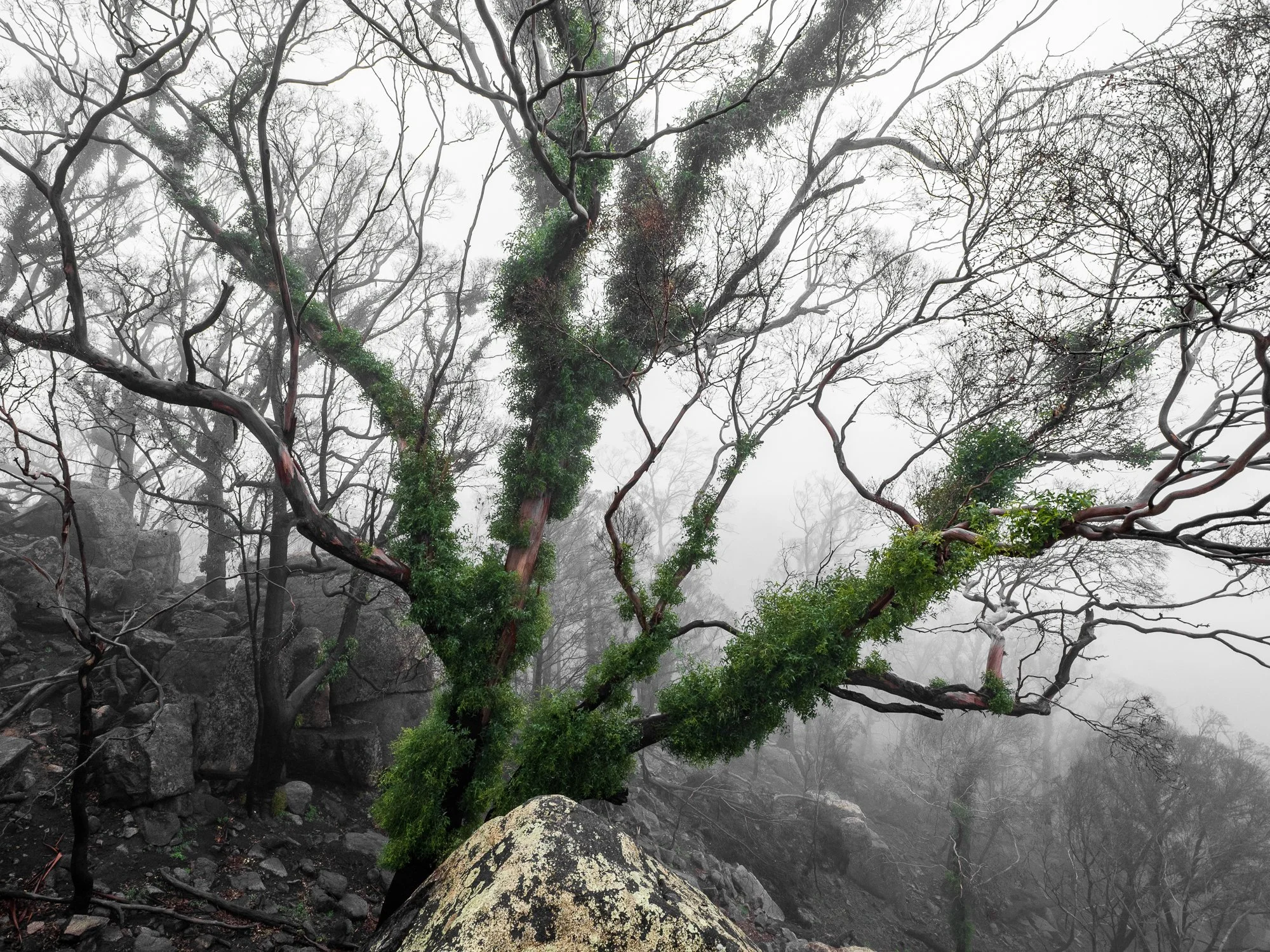
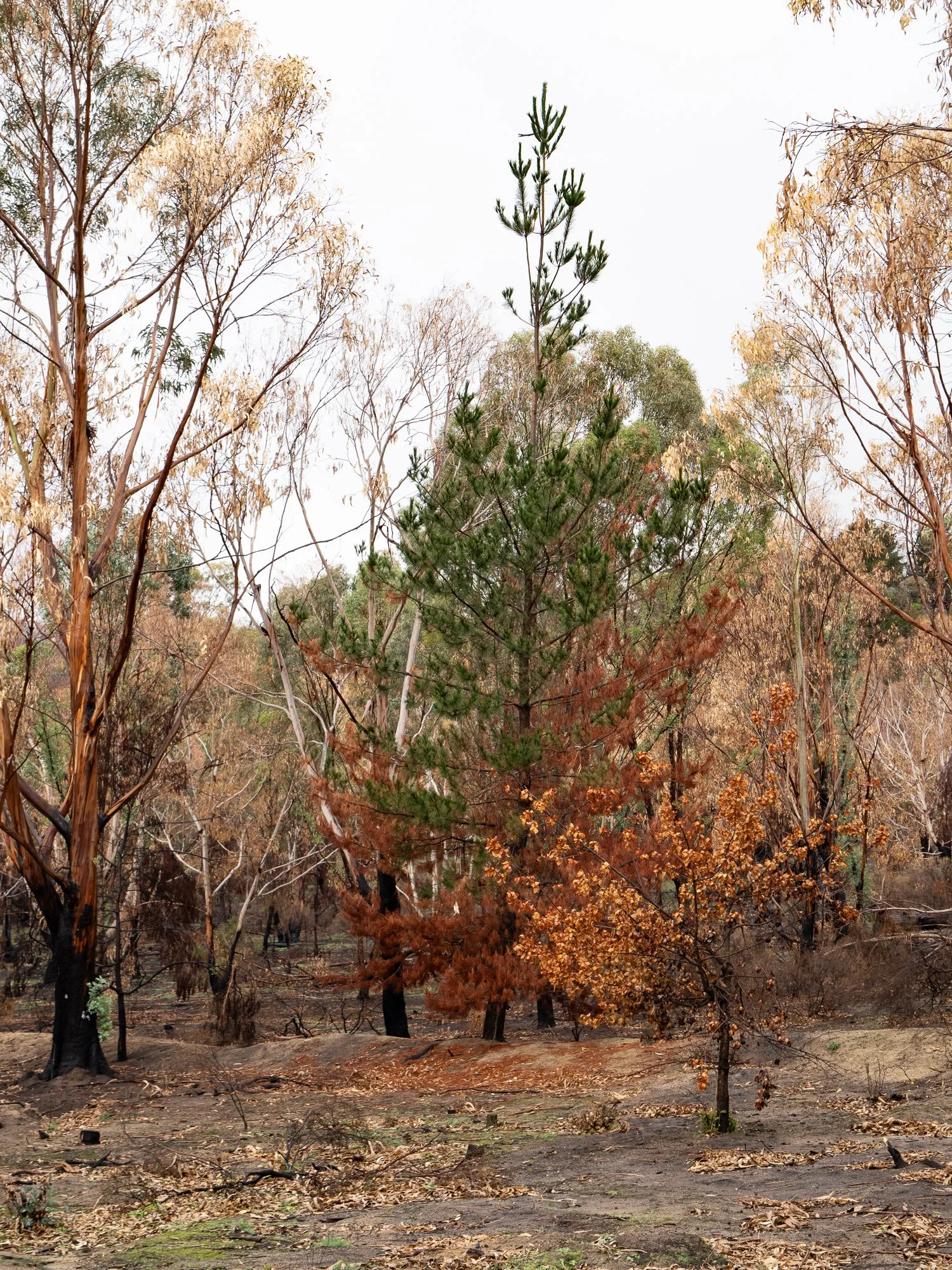
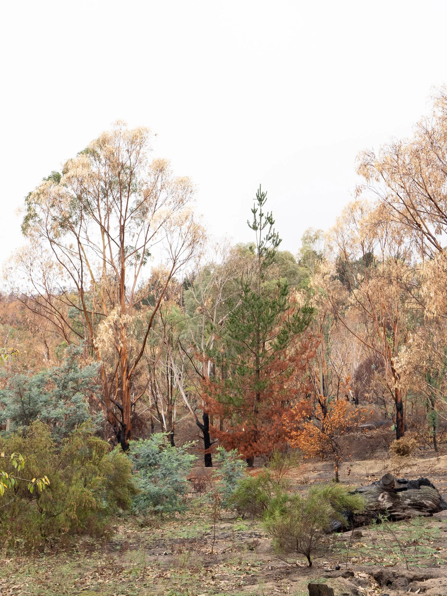
Beyond evidence of loss, this series also looks for recovery: new shoots pushing through scorched soil. There’s a quiet resilience visible in the small details — a lone sapling framed against a burned stump, a track where vehicles once passed now scored with fresh tire impressions, the repaired roadside communications equipment standing ready once more.
Together, the images aim to present a balanced record: an honest account of the damage and disruption caused by the fire, and a careful observation of the slow, ongoing process of repair and regrowth. They are a visual narrative of a place in transition — scarred, resilient, and quietly renewing itself.

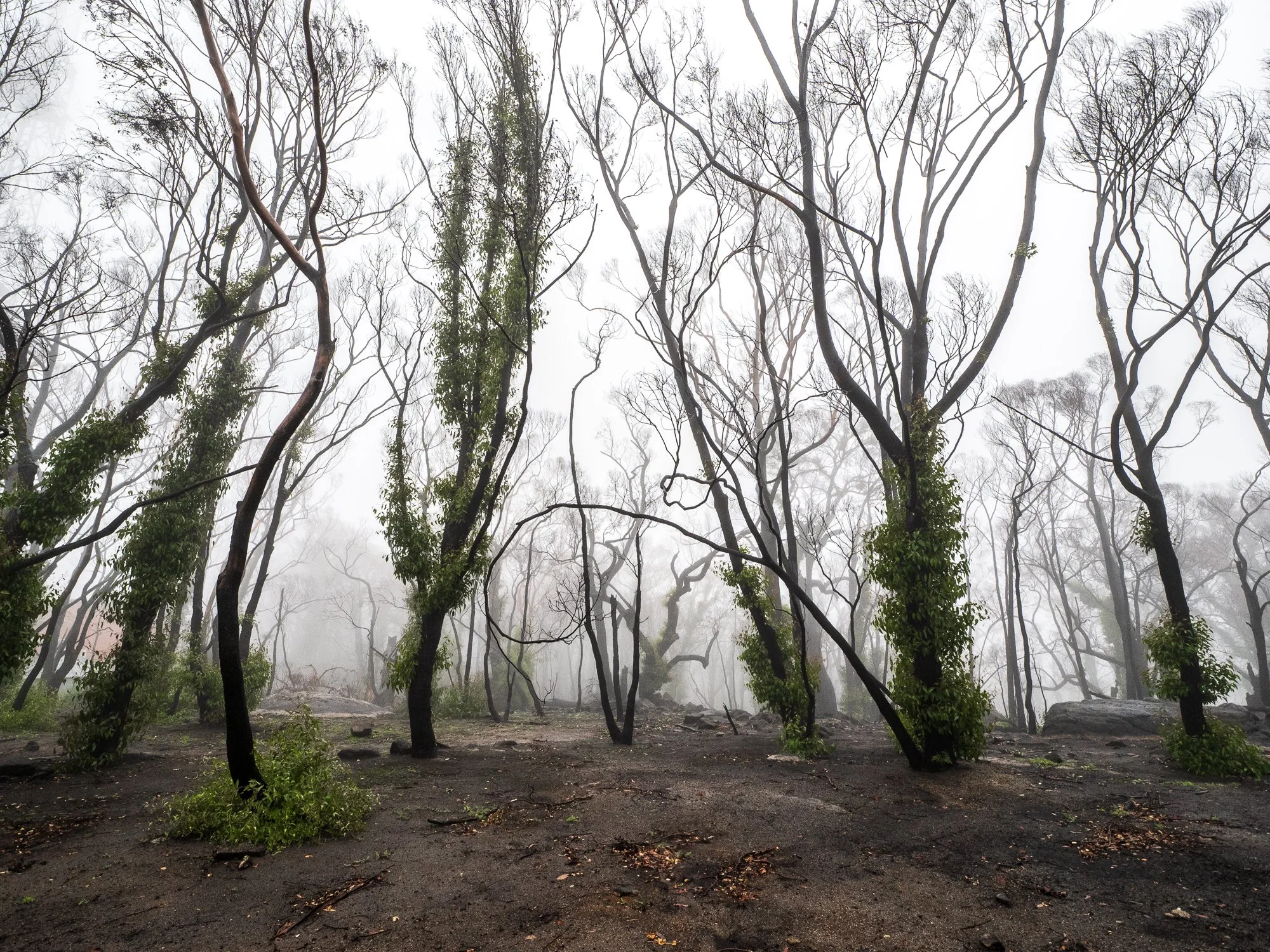
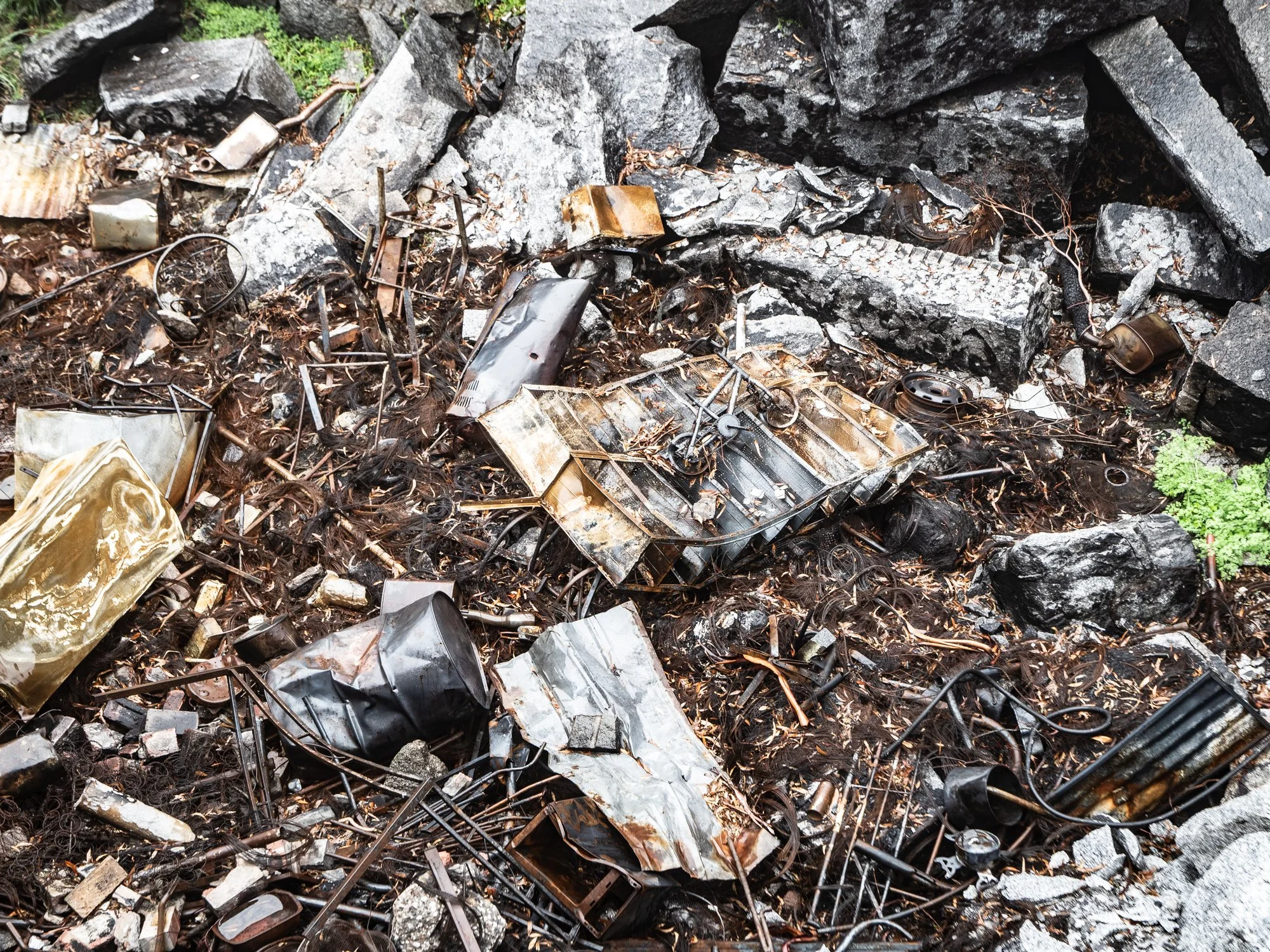
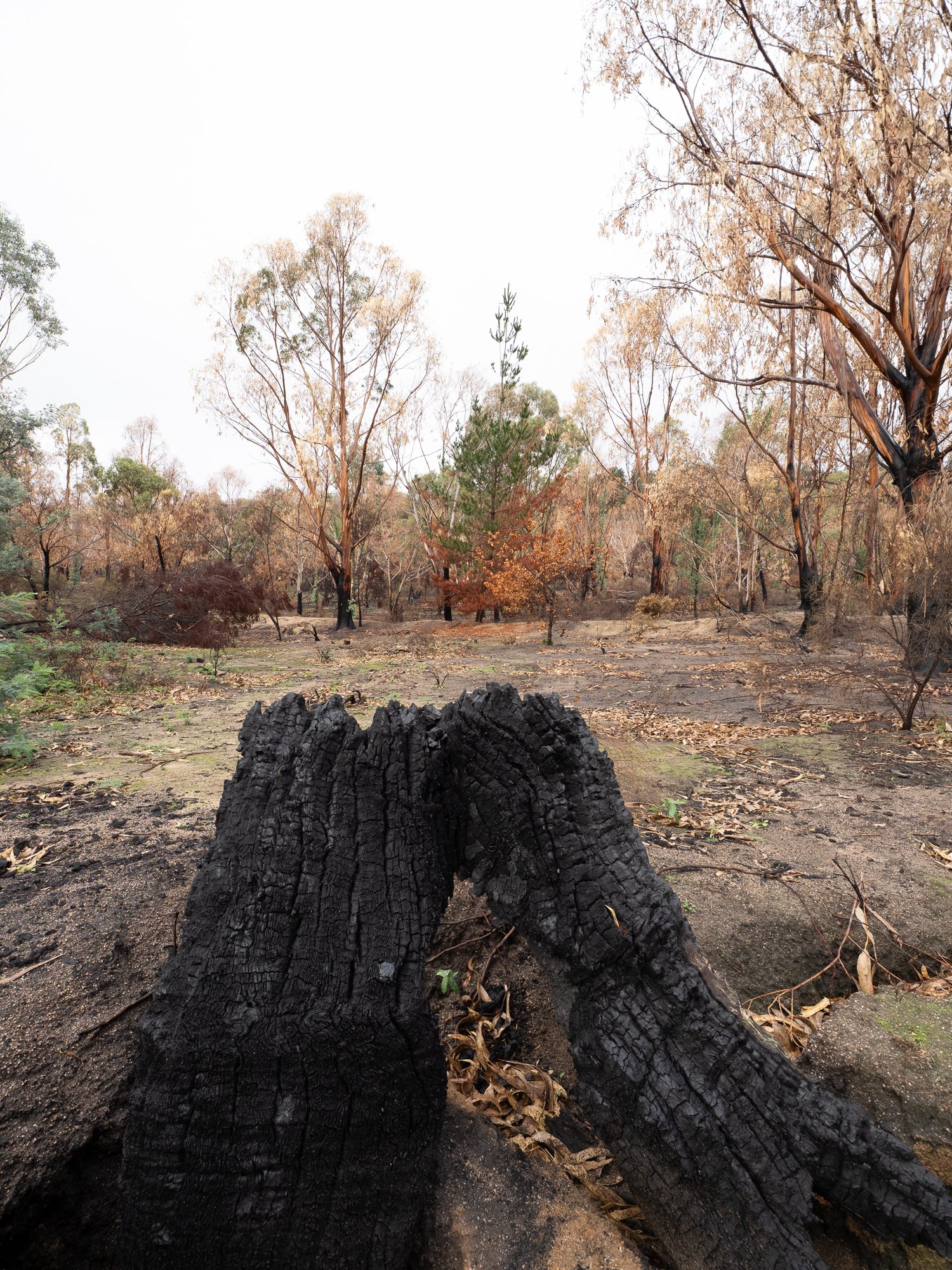
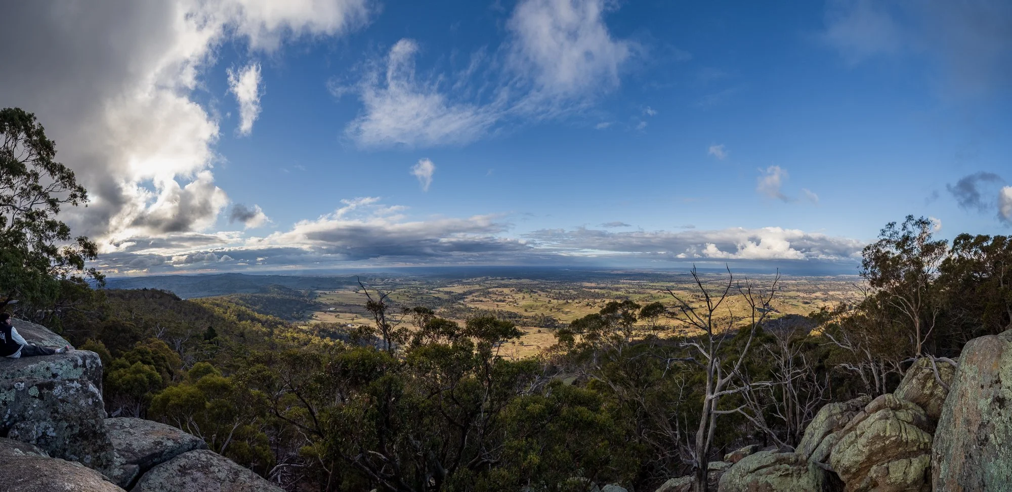
The Oak Forest
Also on May 17, 2026, and now open to the public, the fires came very close to the oak plantation. A stark, visible line runs through the undergrowth and around the trunks—charred soil and singed grass on one side, untouched green and leaf litter on the other—showing exactly how far the flames reached before they were finally stopped. Beyond that boundary, many of the mature oaks stand improbably intact, their crowns unburnt, while inside the scorched zone young saplings and understory plants lie reduced to a fragile, fragile skeleton.
It’s now possible to walk close enough to see the contrast in texture and smell—the acrid, smoky tang still clinging faintly to the burned earth compared with the fresh, resinous scent of unburned trees. Scattered patches of regrowth already punctuate the blackened ground, small shoots and native grasses pushing up where seed and rootstock survived, a quiet testament to the resilience of the local ecosystem and to the firefighting efforts that ultimately contained the blaze.

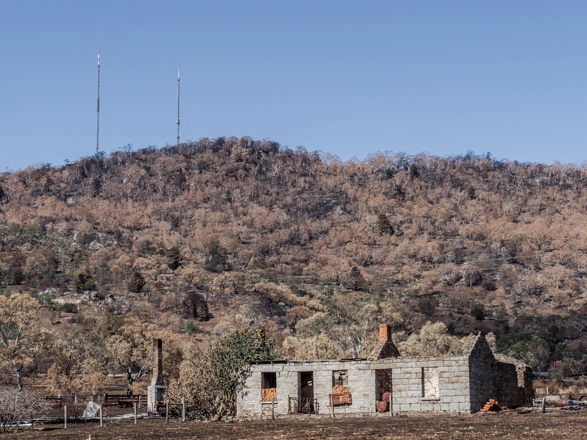
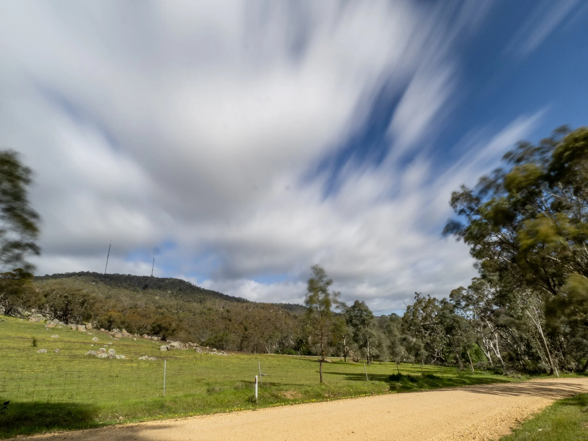
February 7
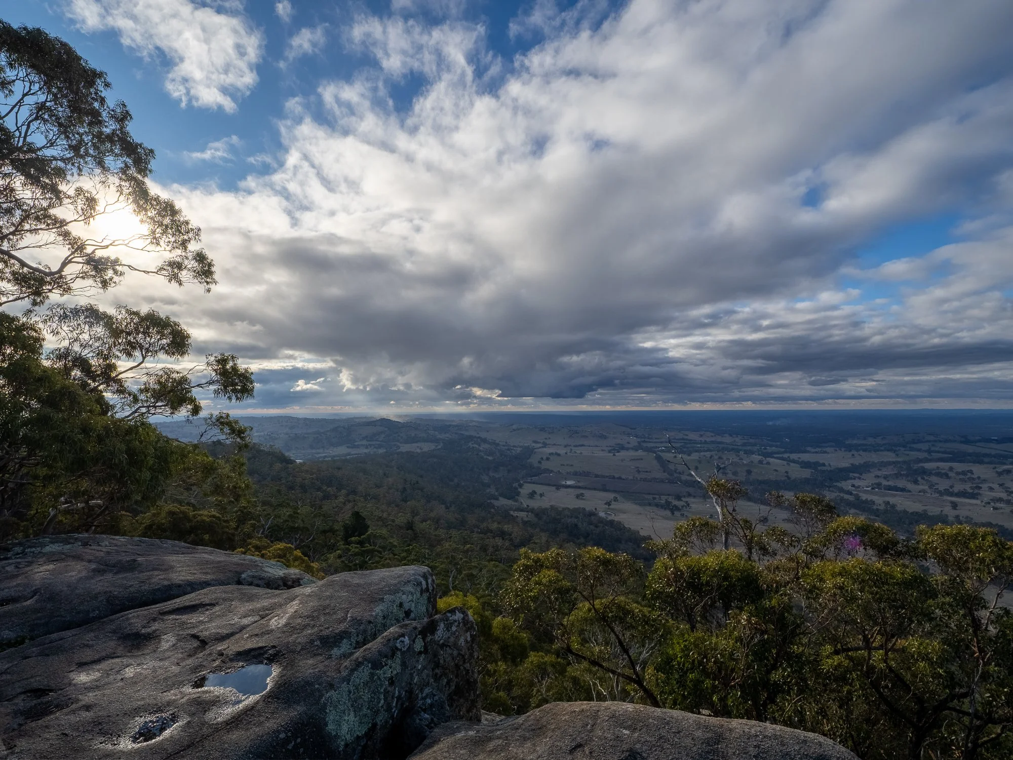
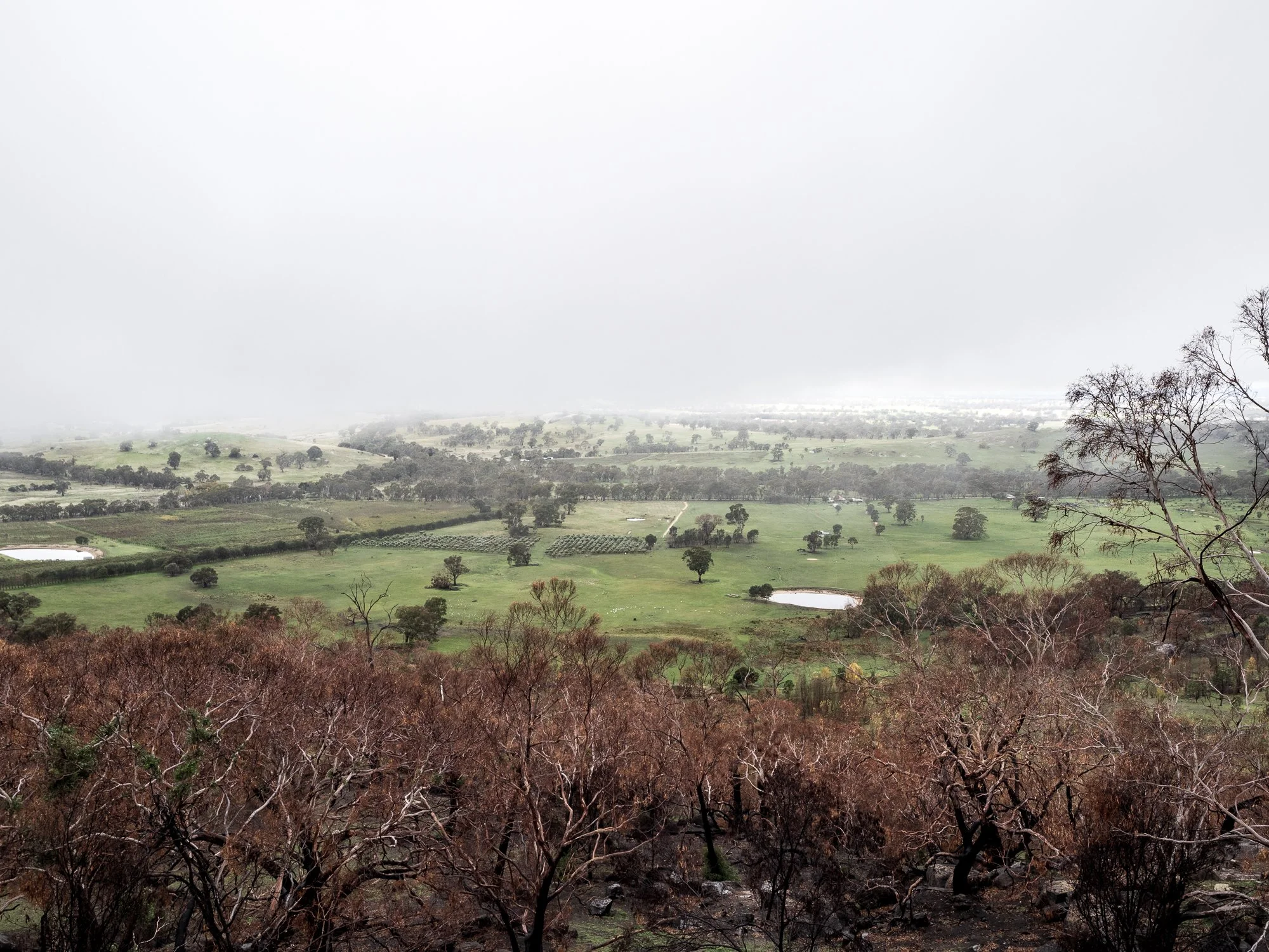
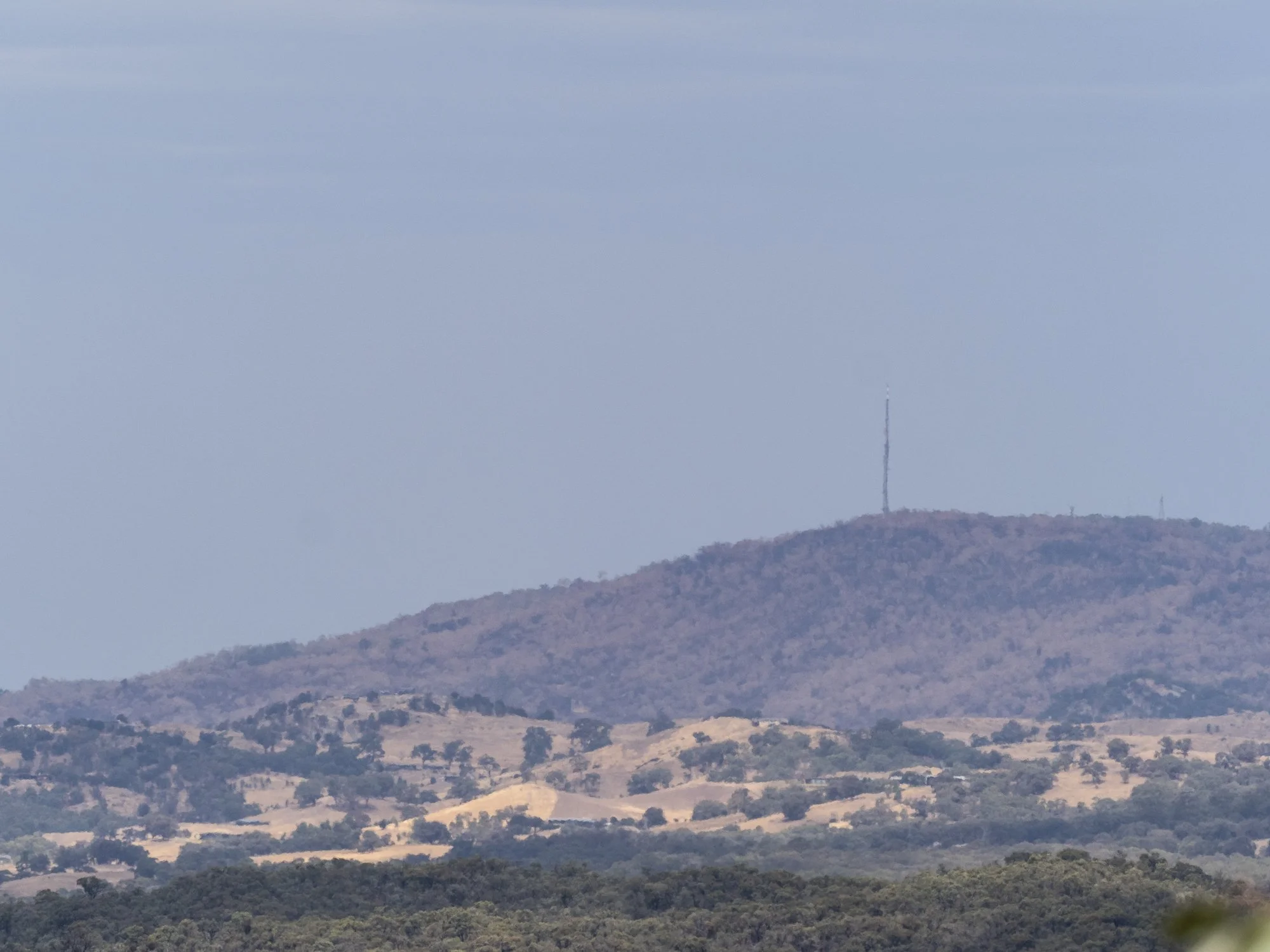
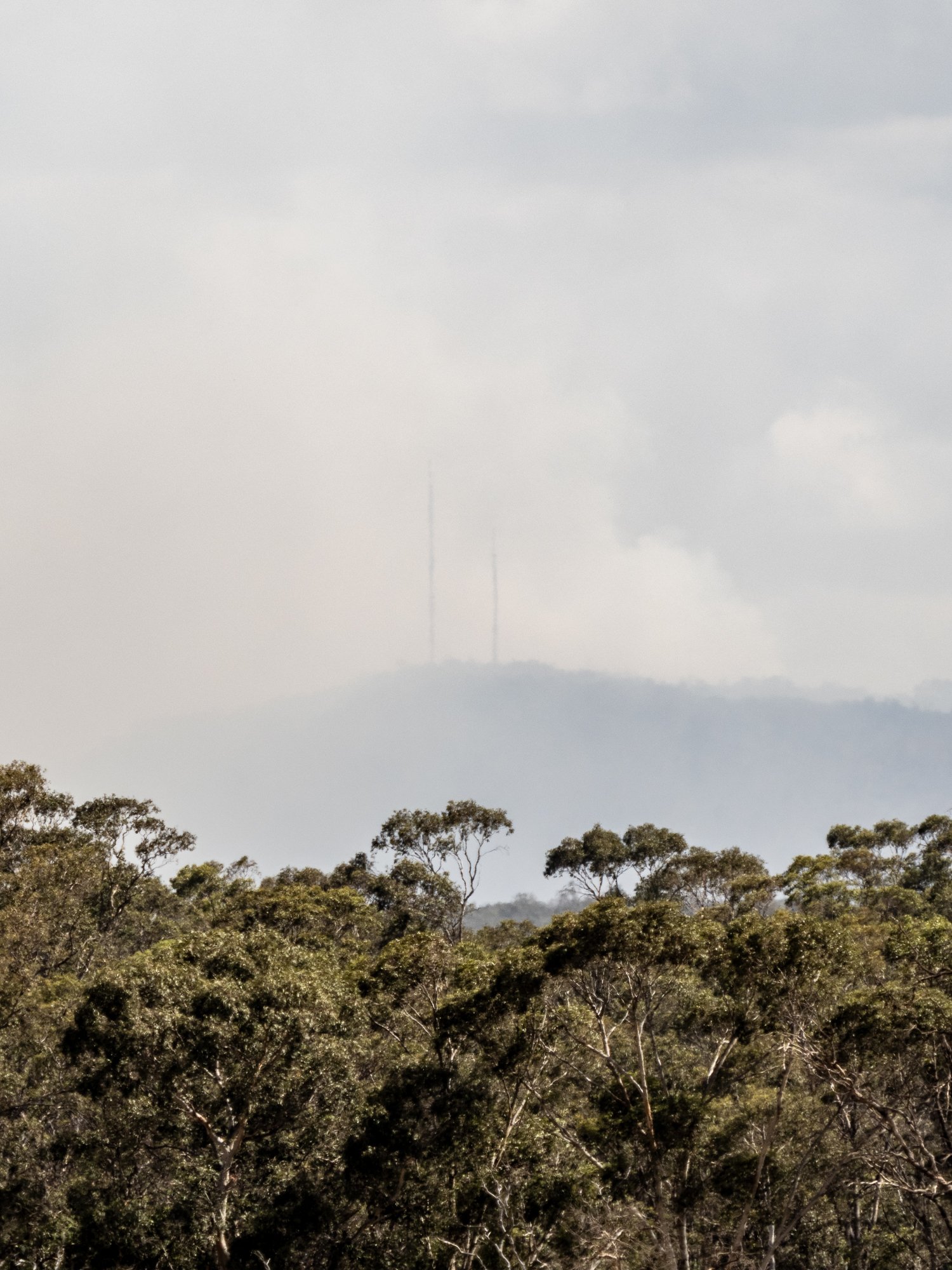
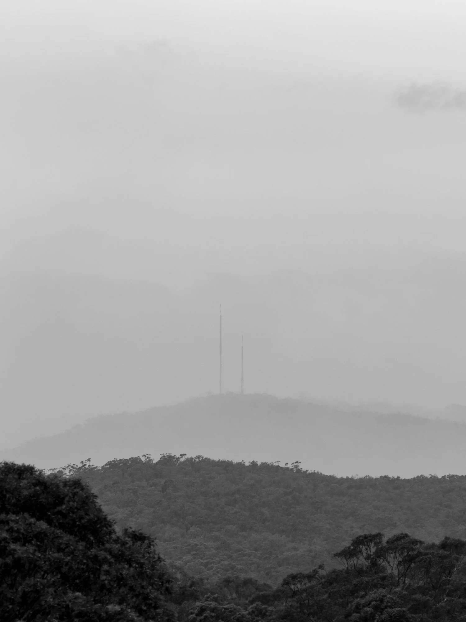
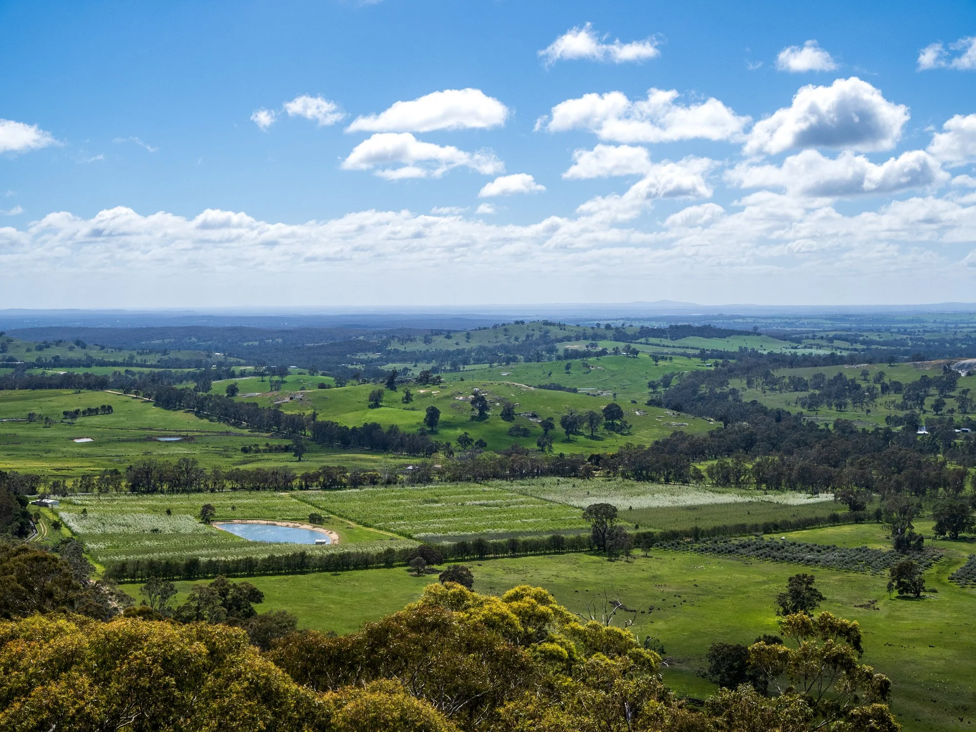
Access to the mountain is currently closed to the public following the recent fires. For safety and recovery reasons, all trails, lookouts and access roads that lead directly onto the mountain are restricted. However, the surrounding public roads remain open, allowing access to drive around the mountain and view its changed silhouette from a distance. From these roadside vantage points you could still observe the scale of the landscape.
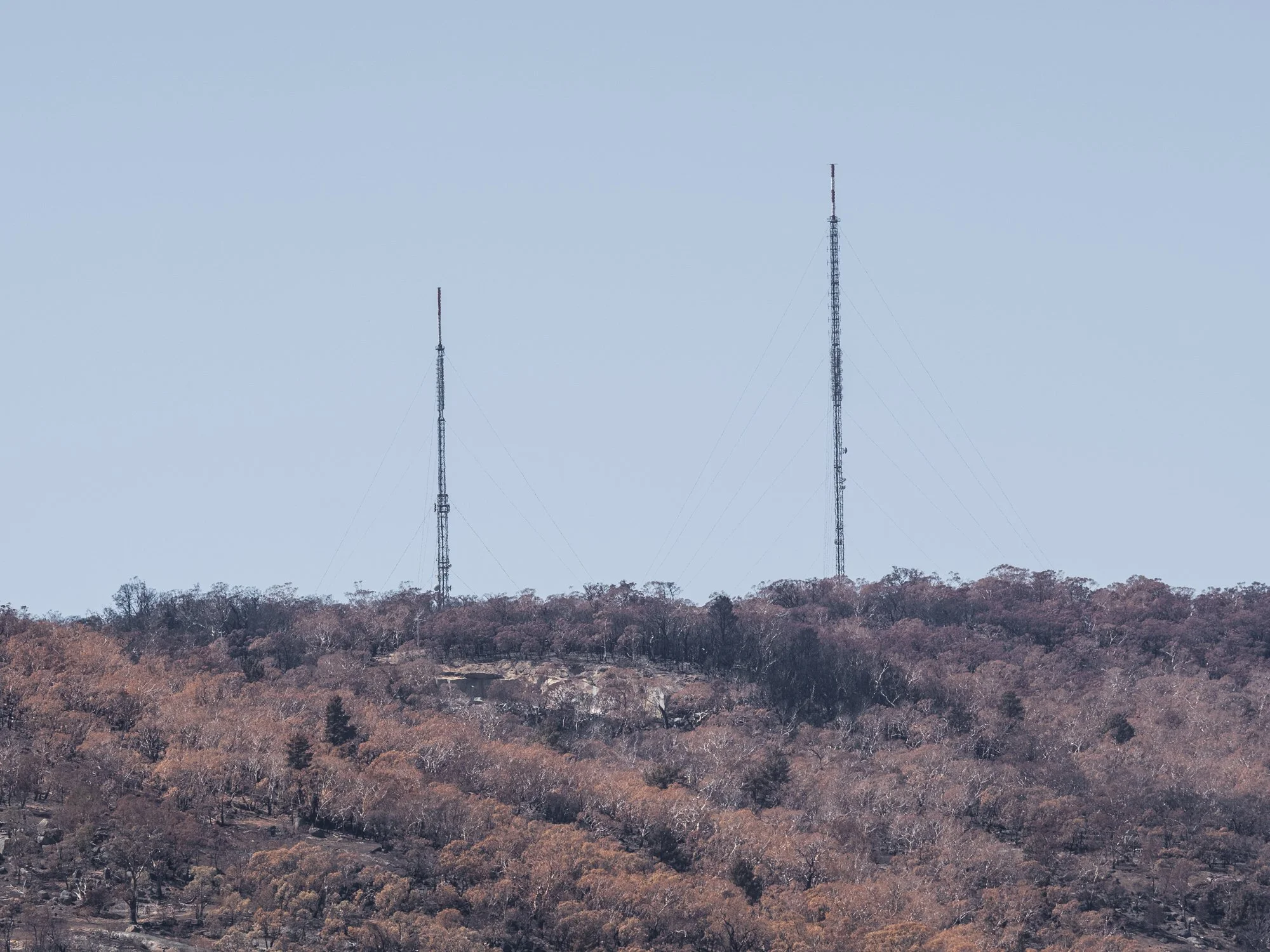
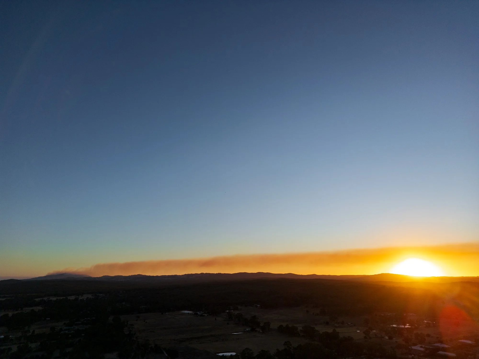
During the fires and shortly after - January 9 onwards
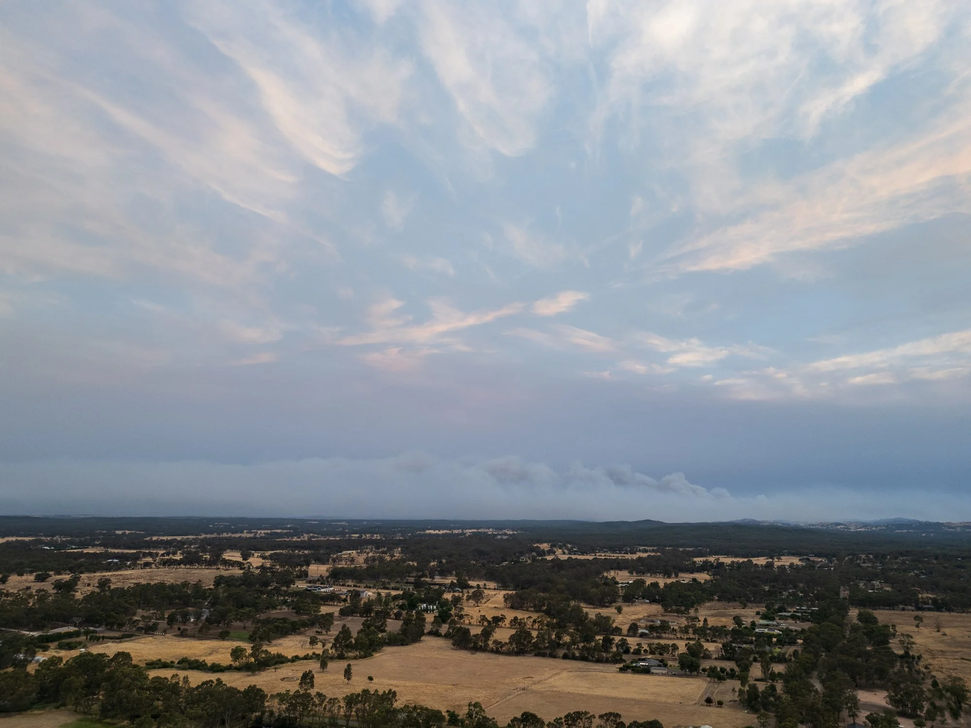
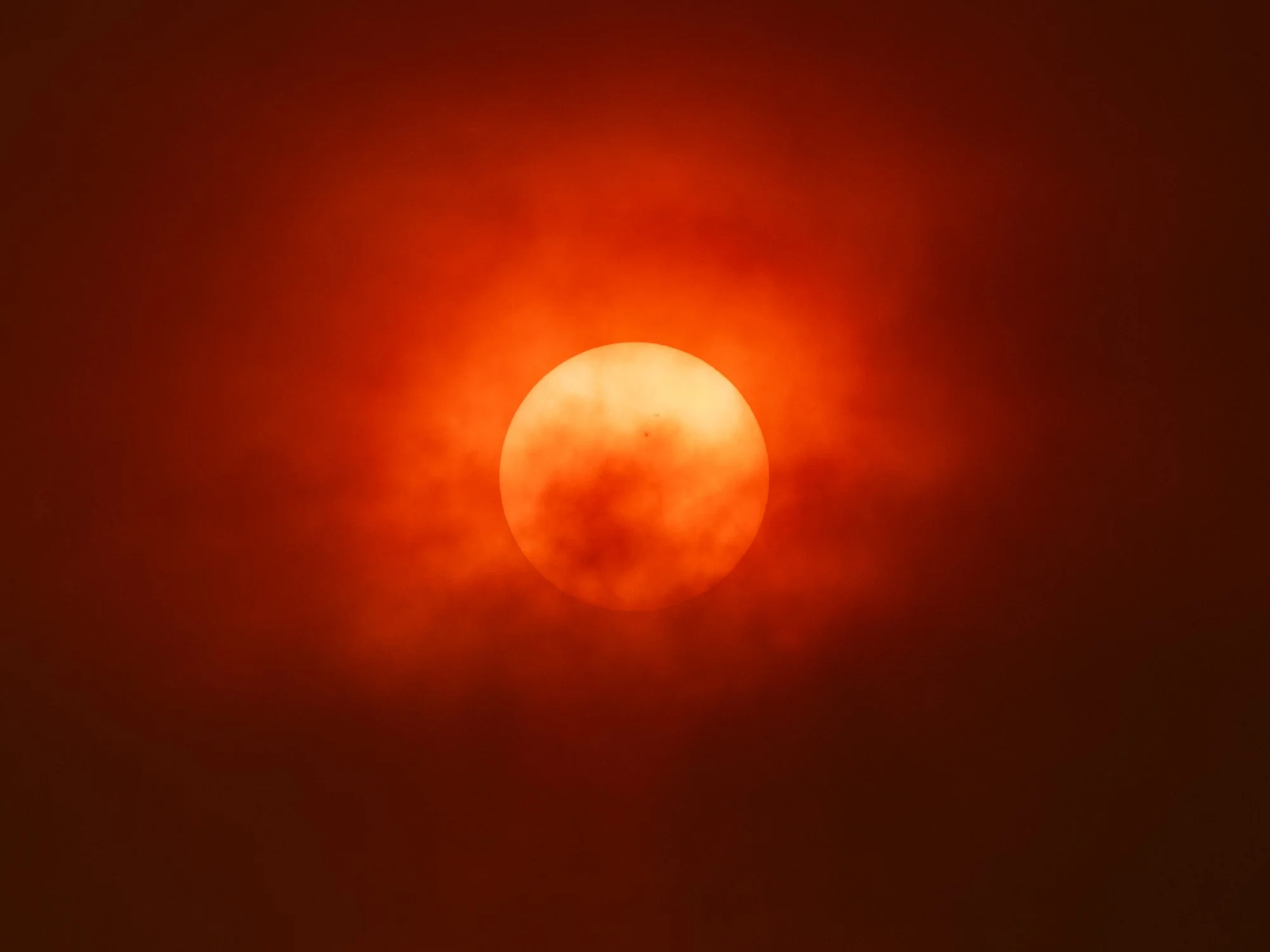
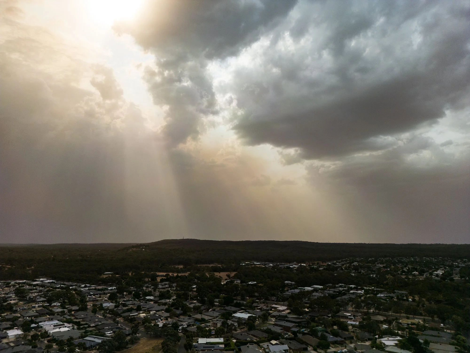
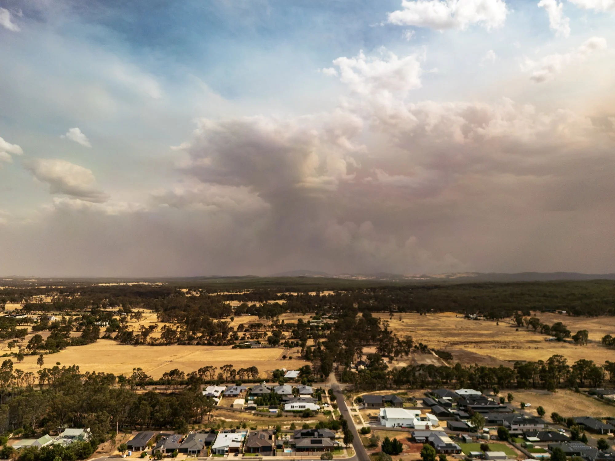
This gallery contains images captured on the day of the fire, including aerial views taken from approximately 20 km away and a selection of shots made using a telephoto lens. The aerial images provide a broad, contextual perspective of the fire’s scale, smoke plumes and landscape patterns, showing how the event sat within the surrounding terrain. The telephoto photographs isolate specific elements, allowing closer inspection of the fire’s behavior and the visual impact on particular trees, structures or ridgelines.
Images are presented as documentary record and visual study of the event.
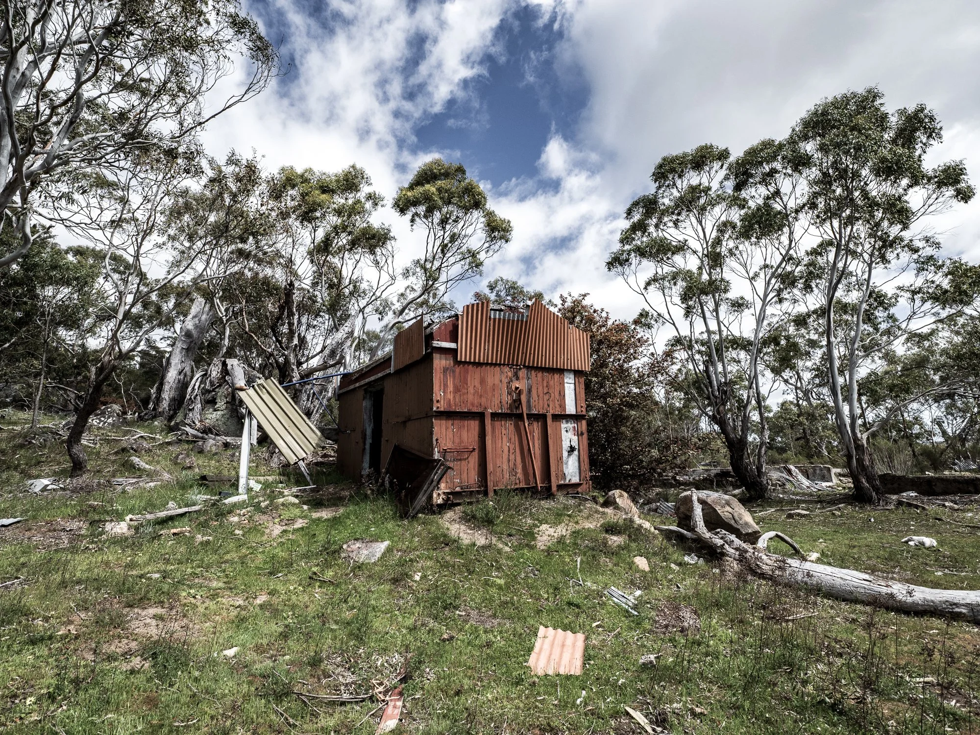
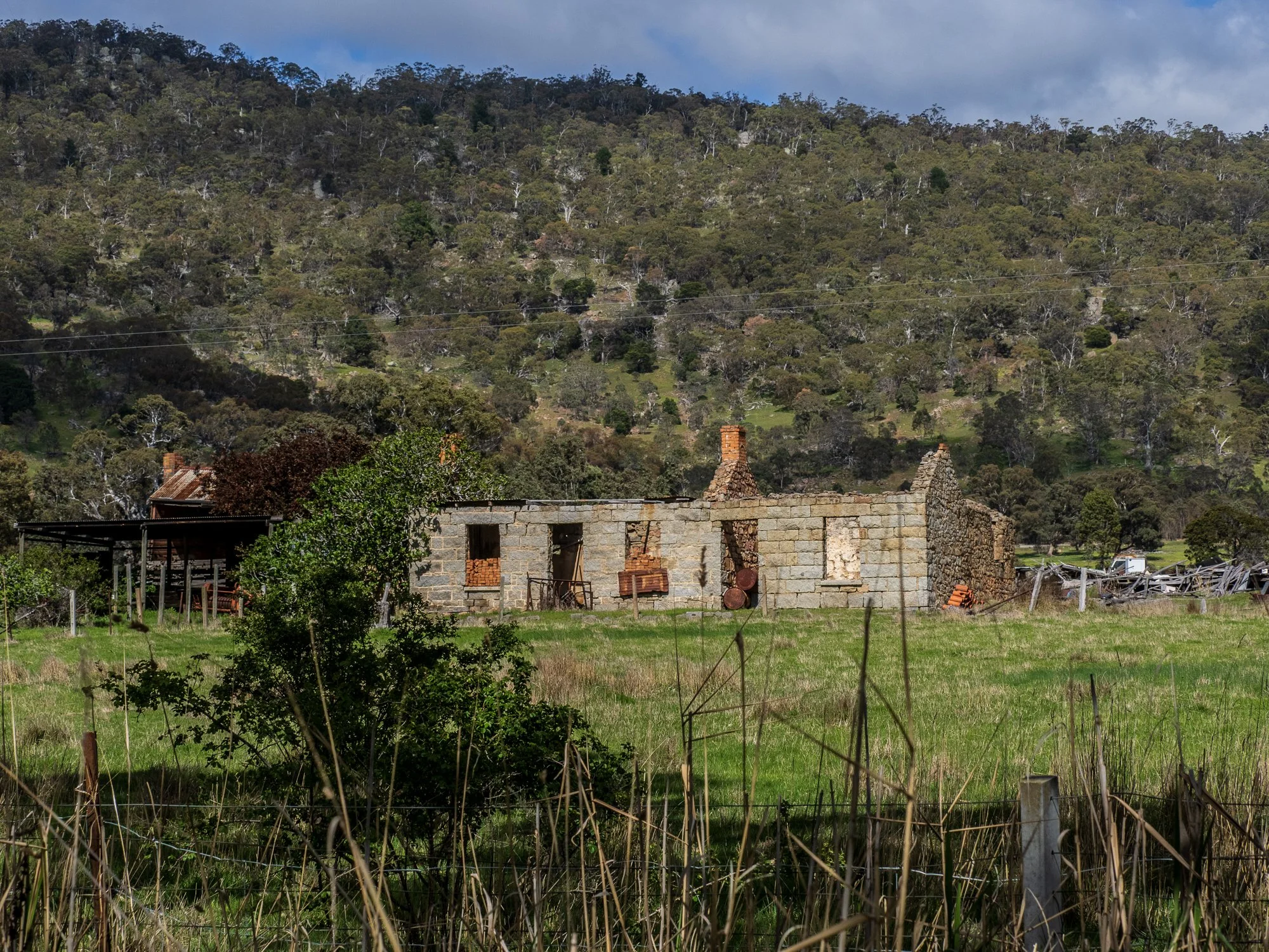
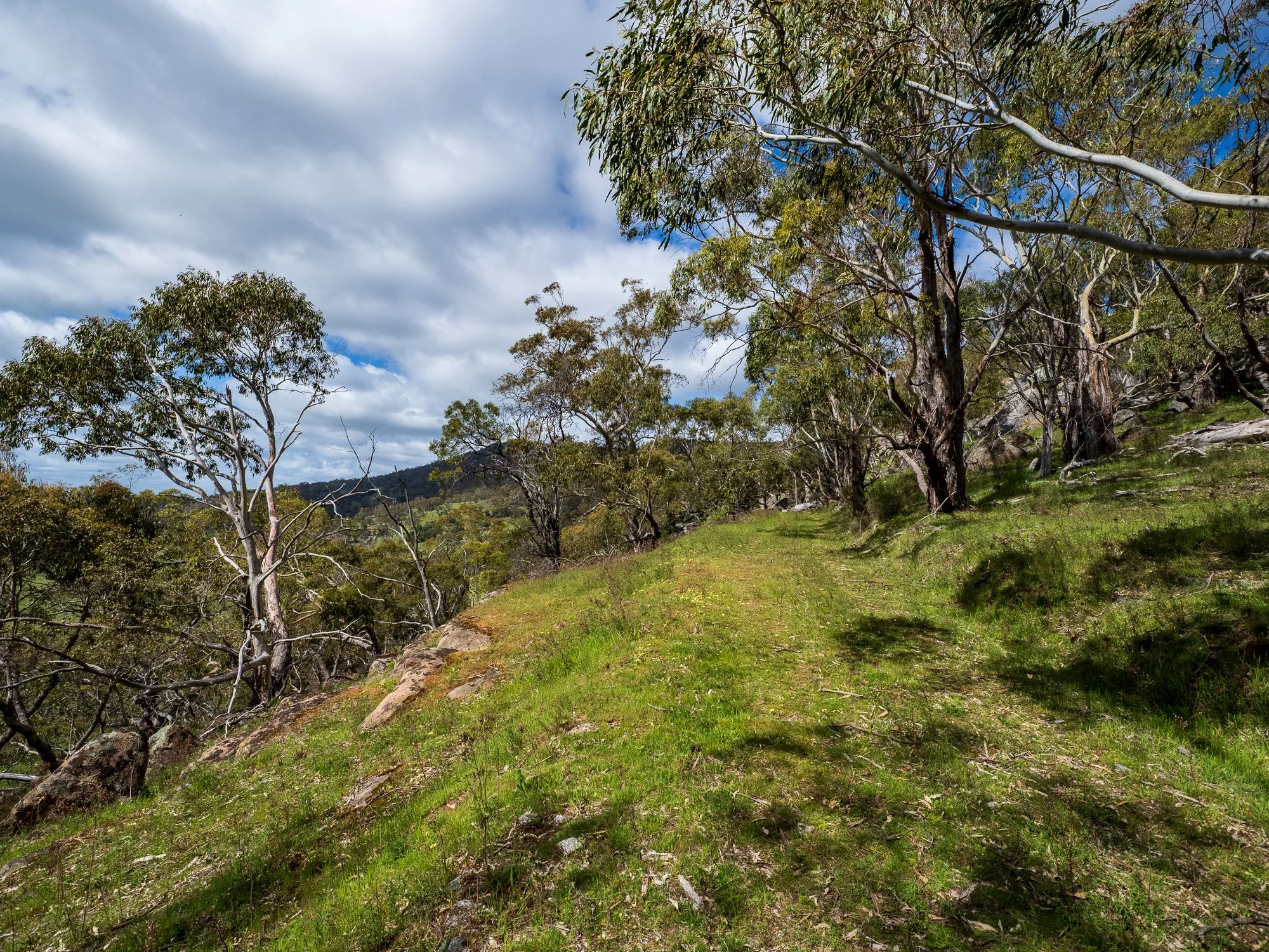
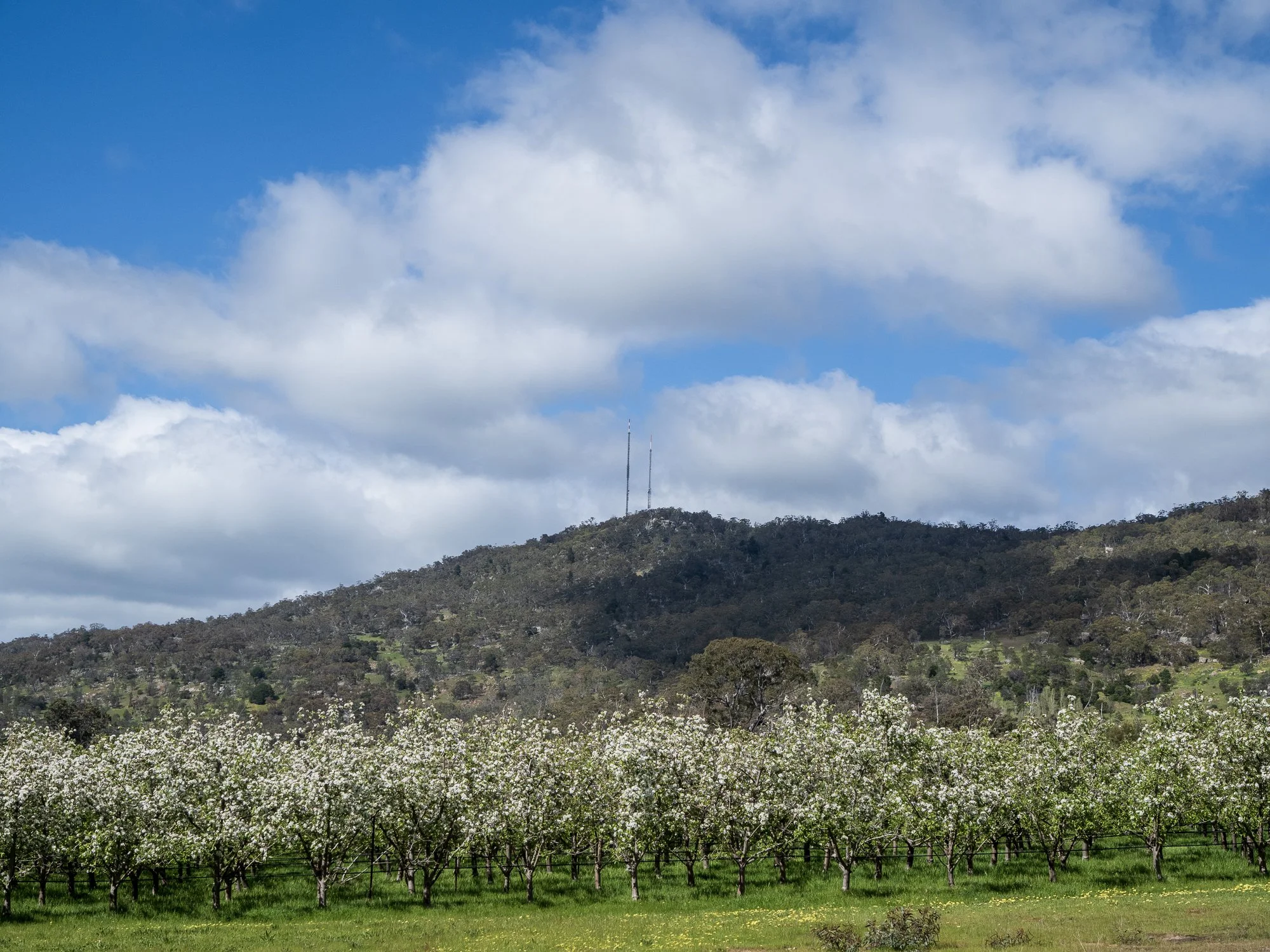
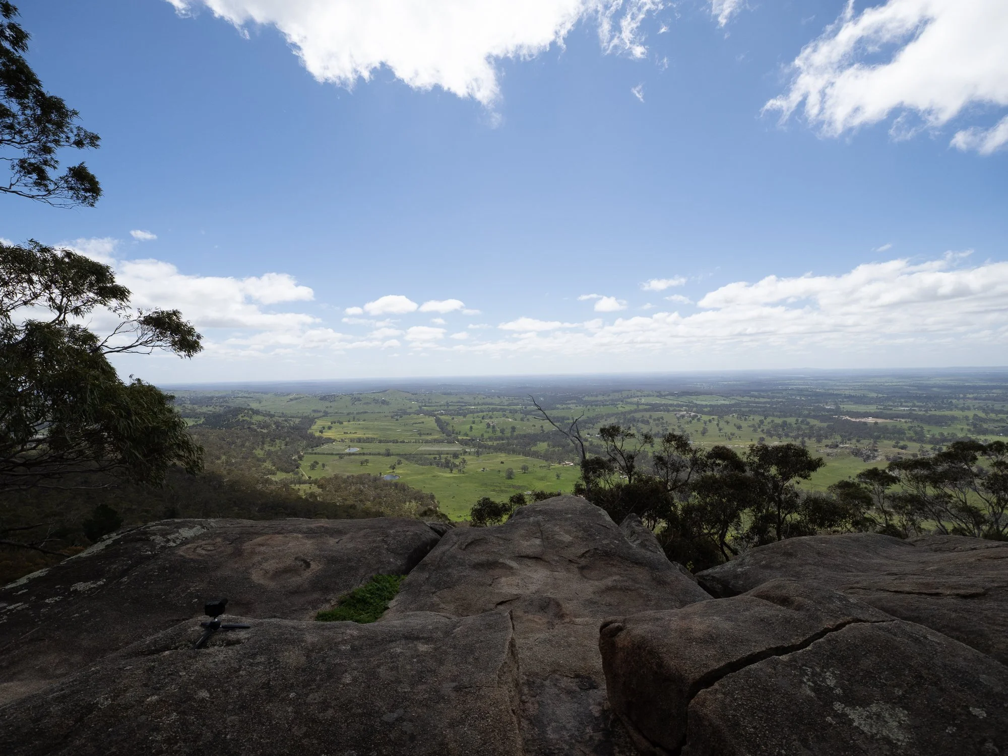
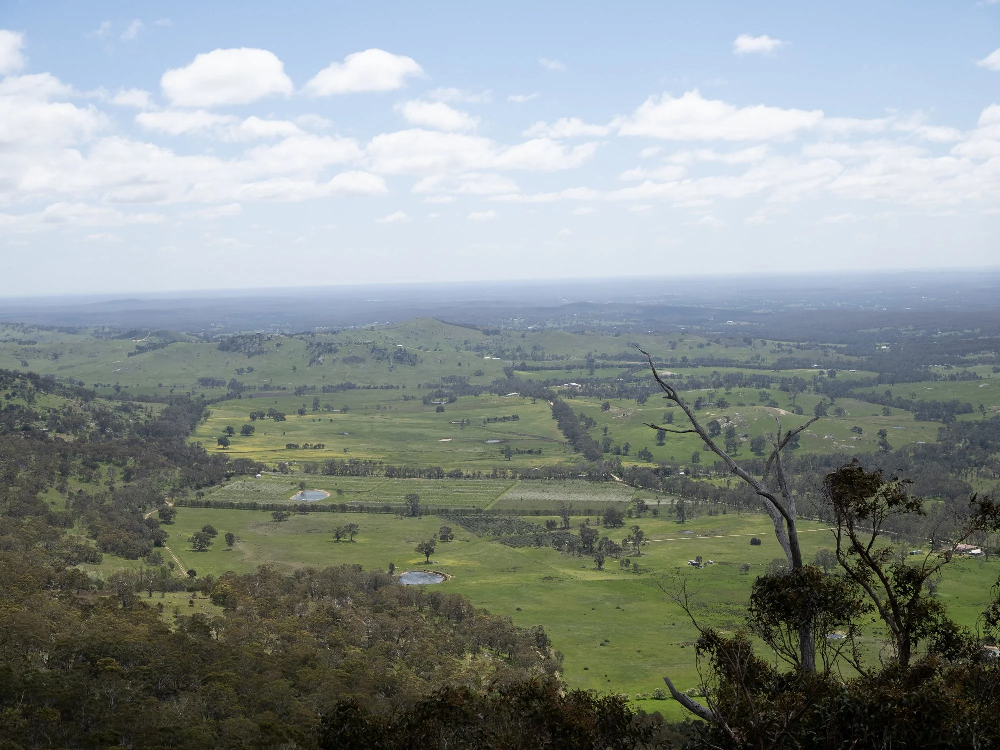
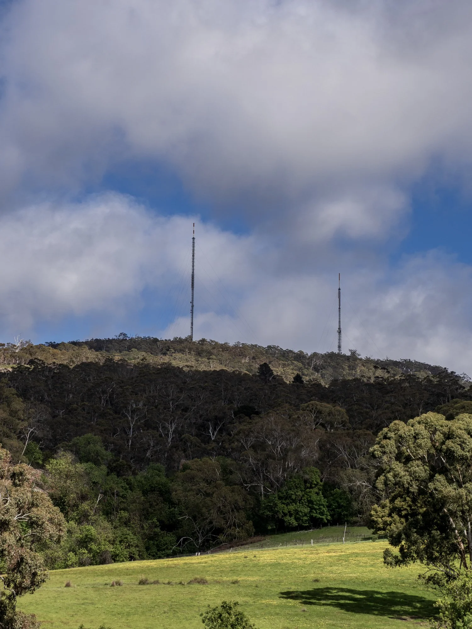
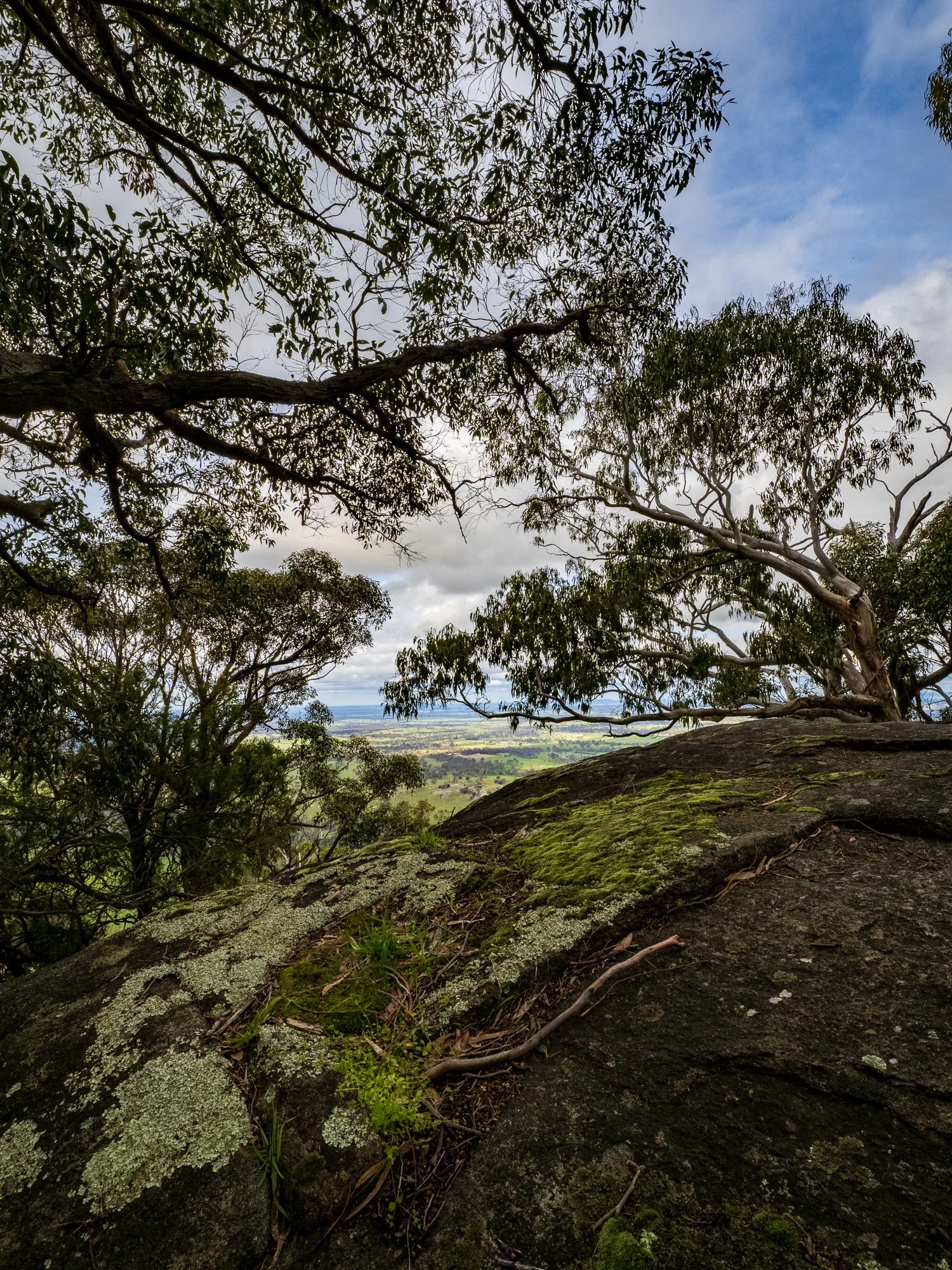
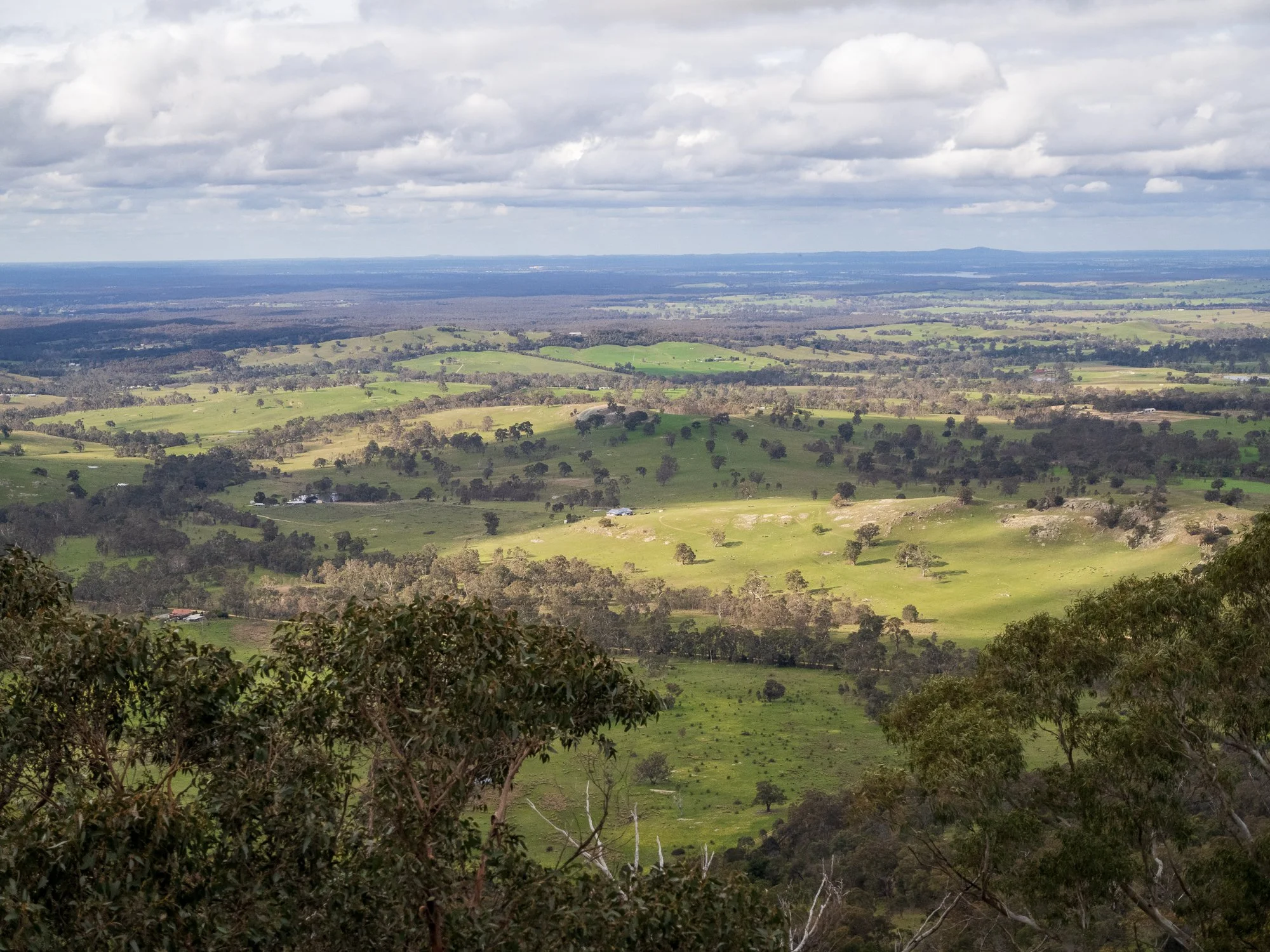
Before the fires
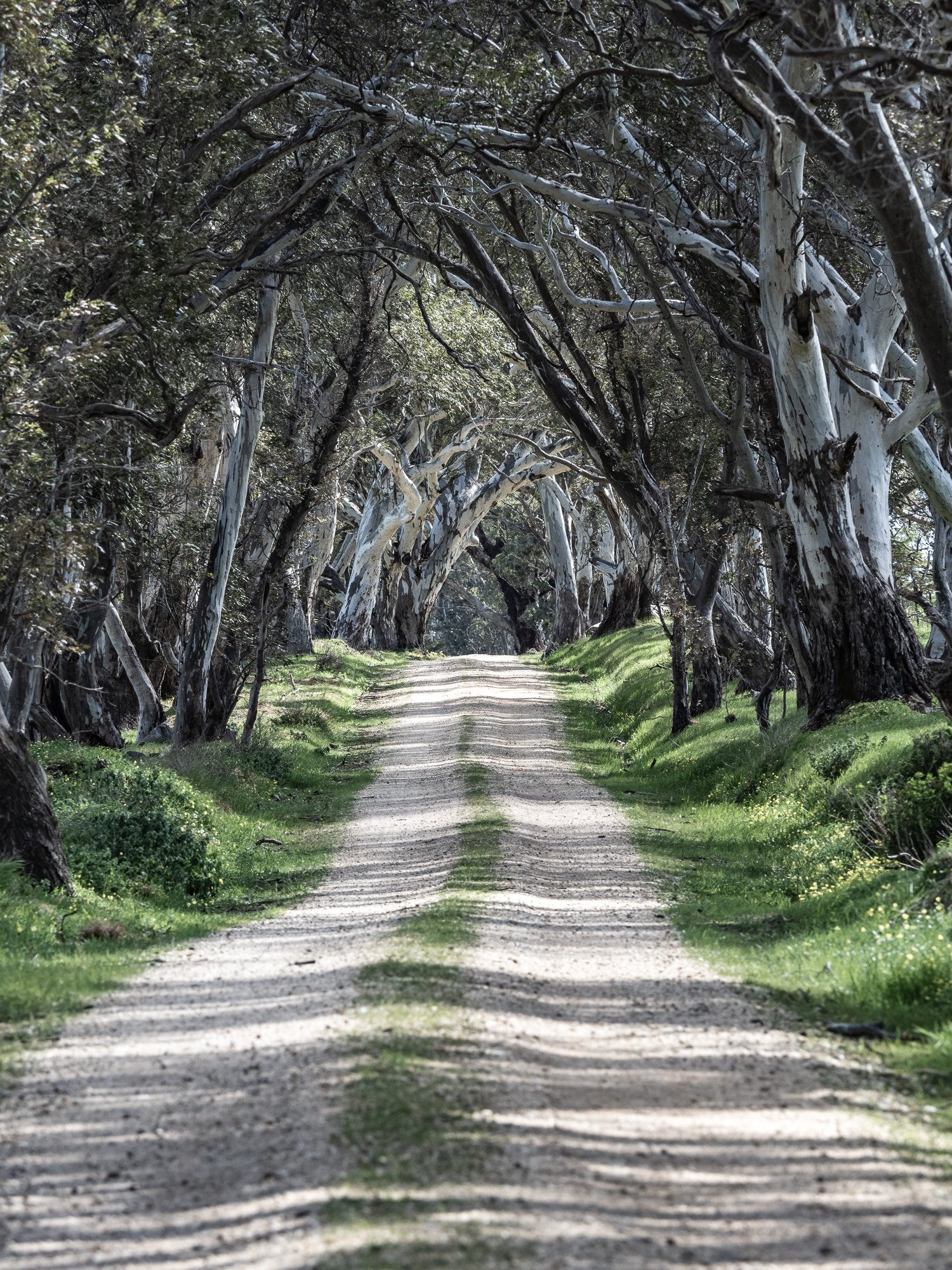
This gallery documents the landscape as it stood in the months before the fires — a quieter, greener time. Many of the images show vegetation lush and intact, and include buildings and other structures that, since the fires, no longer exist. Those lost elements give these photographs an added weight: they are not only records of place and light, but also of memory and absence.
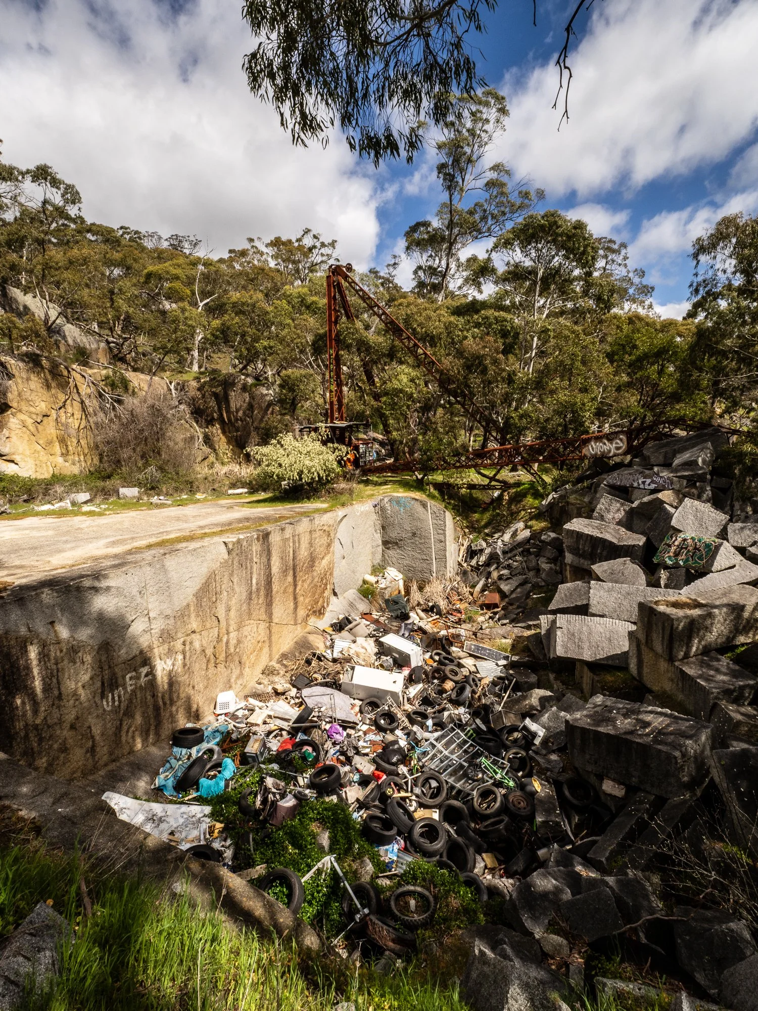
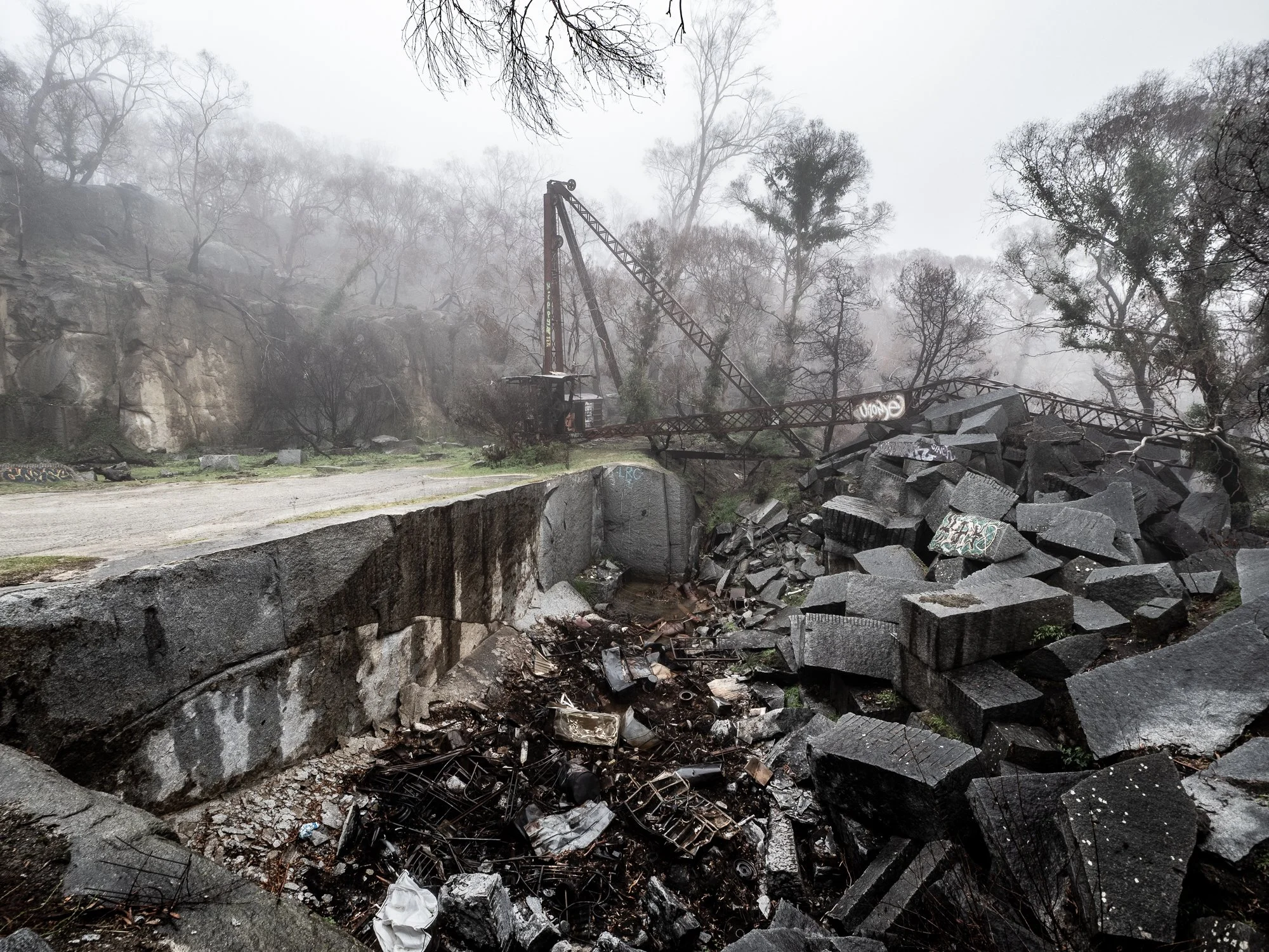
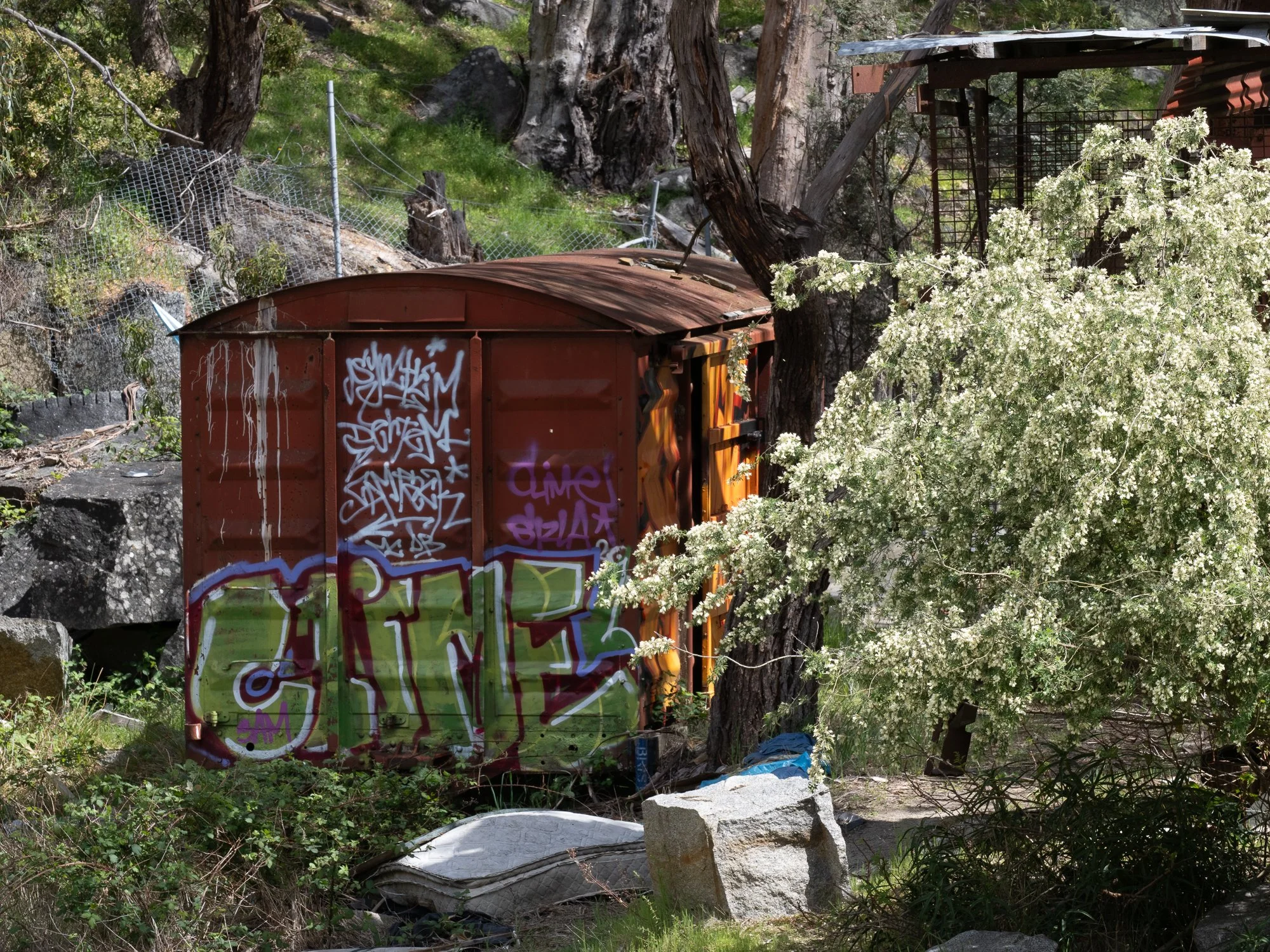
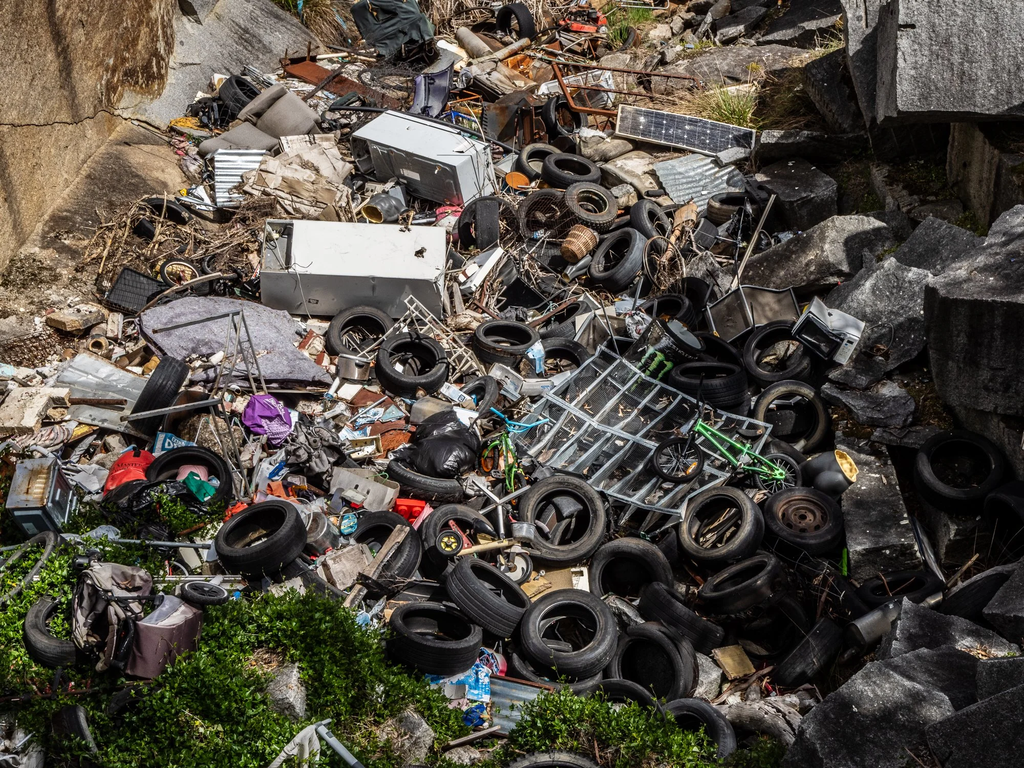
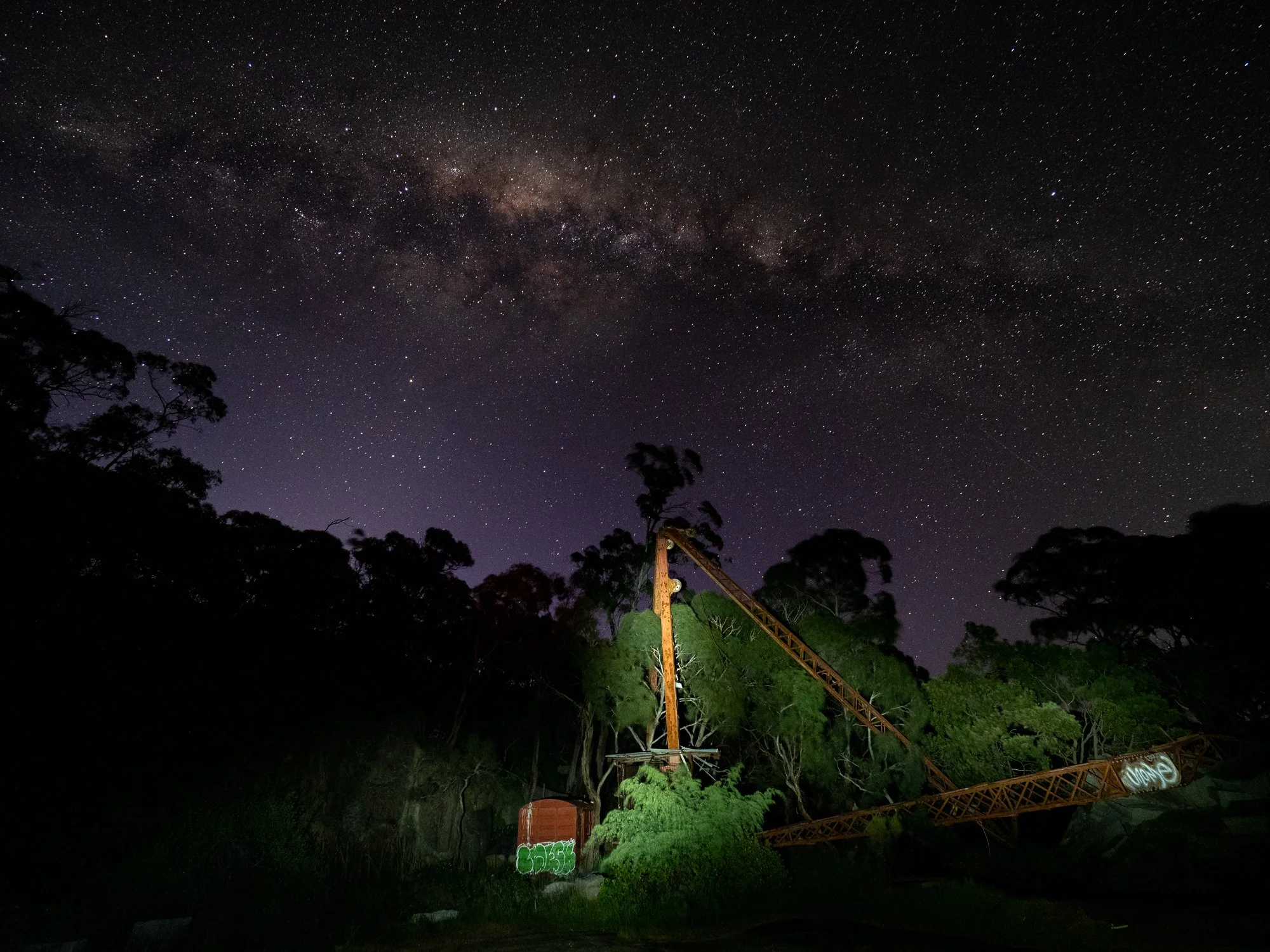
Among the more personal images is an older night photograph taken from the same area where an unofficial dump once sat.
Together the photographs form a small visual archive: scenes of green hills and standing structures, a nocturnal sky heavy with stars, and the knowledge that some of what is shown no longer survives.
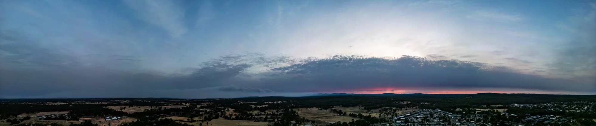
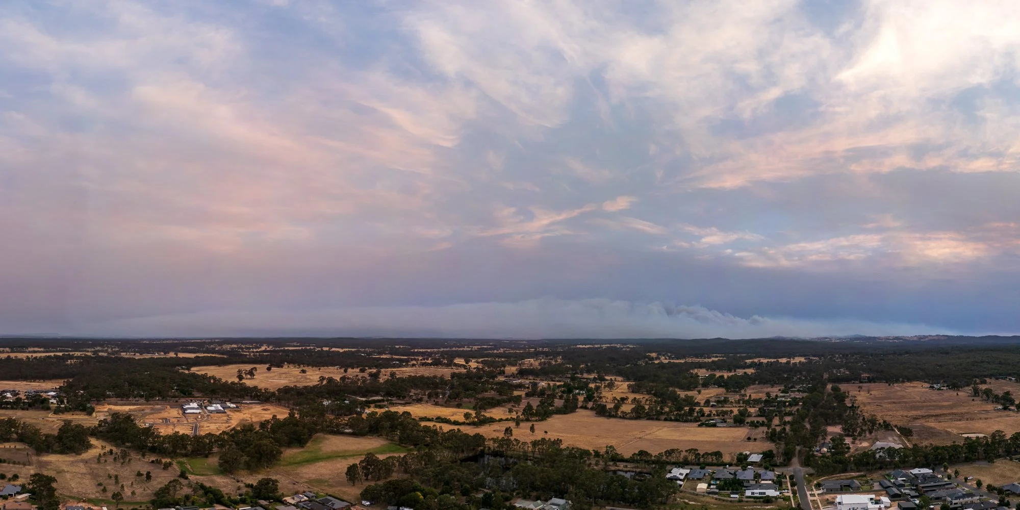
Bushfire on Mount Alexander: A 20km Perspective
A distant look at a local disaster. Launched from home during the peak of the January 2026 Victorian bushfires, this drone footage shows the immense smoke plume and active fire front burning across Mount Alexander from roughly 20 kilometres away.